


ARCHIVE
Today in the Alps - February 2019
Read about current weather and snow conditions in the Alps
Updated: 11.20am Thursday 28 February 2019 - Turning more unsettled!
The weather in the Alps is on the change as a succession of storms move in off the Atlantic over the next few days. With alternating warm and cold air masses, the rain/snow limit will be up and down like a yo-yo, but towards the end of the week it is possible that we will see more sustained snowfall at lower levels.
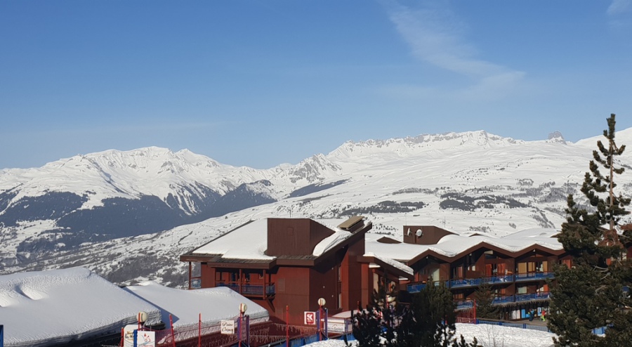
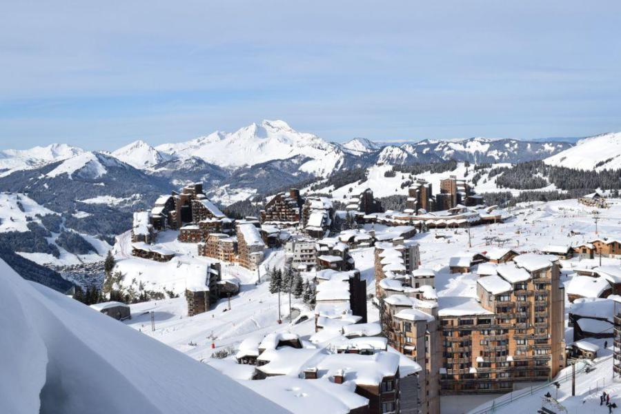
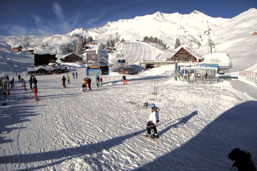
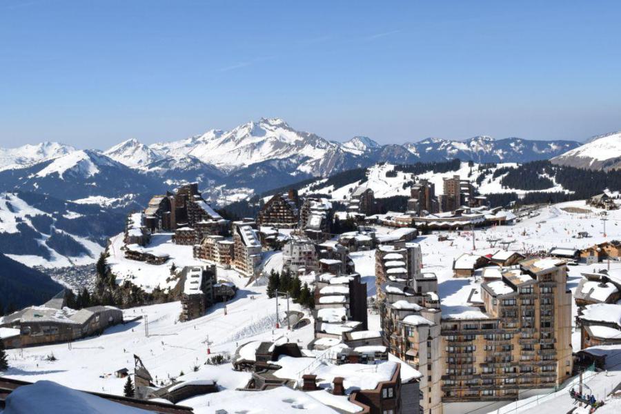 Still sunny in Avoriaz this morning, but cloud will increase later this afternoon – 28 February 2019 –Photo: avoriaz.com
Over the next week or so, the highest snowfalls totals will be at altitude in the north-western Alps – i.e. the northern French Alps (e.g. Chamonix, Flaine), the Swiss Alps away from the far south (e.g. Mürren, Engelberg, Klosters), and the western Austrian Alps (e.g. St Anton). The southern side of the Alps (e.g. Milky Way, Dolomites) will probably see less new snow.
This change in weather is a mixed blessing: on the one hand it will bring some much needed snow to many parts of the Alps but, on the other, some rain is also likely at times in the lower resorts of the northern and western Alps. There will still be some sunny periods over the next few days, but no more of the seemingly endless sunshine that many resorts experienced in February.
Back to today, and it is still sunny and warm across many parts of the Alps, although some high wispy clouds are already starting to appear in the far north-west. The first precipitation from this breakdown in the weather will hit the French Alps this evening, before moving further east into Switzerland and Austria overnight, bringing a little snow to above 1500m at first, then down to 900-1100m early tomorrow.
The weekend will then be relatively calm before the next, more active, storm reaches the western Alps on Sunday night/Monday. Stay tuned…
Updated: 1pm Wednesday 27 February 2019 - The weather in the Alps is about to change…
It’s another glorious day in the Alps with virtually wall to wall sunshine and freezing levels as high as 3700m in the west!
 Another glorious day in the Alps. This is Oberstdorf on the German-Austrian border – 27 February 2019 – Photo: oberstdorf.de
Needless to say, the thaw has accelerated in recent days – the temperature was 20°C in the shade in Bourg Saint Maurice yesterday – with spring-like snow conditions now quite prevalent, especially at lower altitudes.
So, while anyone in the Alps this week is likely to have encountered some afternoon slush (especially on low and/or south and west facing slopes), it is only February and the sun is not yet ruinously strong, and there is still plenty of good skiing to be enjoyed. Indeed many north-facing slopes are staying relatively firm and grippy all day long, especially above 2000m.
In fact, the weather in the Alps is about to change, with the first fronts arriving in the western Alps later on Thursday. This storm will mostly affect the north-western Alps, bringing a few centimetres of snow to resorts such as Avoriaz, Mürren, Engelberg and Lech on Thursday night/Friday morning. It will weaken as it moves east across Austria though, and most of the southern Alps will remain dry.
More active storms are forecast next week but any detail is still hard to pin down at this stage. Stay tuned…
Updated: 11.20am Tuesday 26 February 2019 - Remaining spring-like until late Thursday at least…
The weather in the Alps will remain largely warm and sunny until Thursday, when Atlantic fronts will start to move in from the west. So if you are skiing in the Alps this week you can look forward to two to three more exceptionally warm spring-like days with freezing levels as high as 3700m in the west.
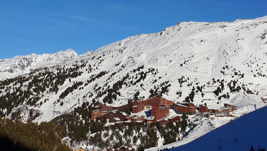
 Another hot day in Avoriaz but snow cover remains largely complete on-piste, even down to Morzine (in the background) – 26 February 2019 – Photo: avoriaz.com
Not surprisingly, afternoon slush is quite prevalent on low and/or south- and west-facing slopes. However, the snow is generally remaining quite firm on shadier slopes above 1800m or so.
The upcoming change in the weather will first become apparent when a band of precipitation hits the French Alps (mostly in the north) and Swiss Alps on Thursday evening/night. The rain/snow limit will initially be quite high but will descend to about 1000m by Friday morning. The precipitation will then move further east across must of Austria on Friday, dying out as it does.
Snowfall totals from this storm are not expected to be large, with somewhere between 5cm and 20cm across the northern French Alps (e.g. Avoriaz), and northern and western Swiss Alps (e.g. Mürren). There will be somewhat less in Austria and little or no rain/snow across most of the southern Alps (e.g. Italy).
After a mostly fine day on Saturday, further weather fronts will affect the north-western Alps on Sunday heralding a sustained period of unsettled weather. It does not look like it will be particularly cold though, with rain also a possibility at times lower down. Stay tuned…
Updated: 9.30am Monday 25 February 2019 - Still spring-like for most of the Alps!
A huge area of high pressure is still dominating the Alps, which means lots of sunshine for most regions both today and for much of this week. It is also warm, especially in the western Alps where freezing levels will hit 3500m for at least the next two to three days.
 Sunny skies this morning in Garmisch, Bavaria – 25 February 2019 – Photo: foto-webcam.eu
Early last week the thaw was quite slow despite the sunshine, with many pistes remaining firm and grippy, and any slush largely confined to lower south- and west-facing slopes.
The situation has now evolved though. With the sun climbing ever higher in the sky, freezing levels having become unusually high, and most regions not having seen any new snow for over two weeks, there has been a more significant deterioration in conditions in low resorts and/or those with lots of slopes exposed to the sun.
Although plenty of good skiing is still available, be prepared for conditions more akin to mid or late March, rather than late February. This means hard (or in places icy) slopes early on followed by a gradual softening of the snow with some slush later in the day on lower slopes, especially those facing south and west. Shadier slopes will remain firm for longer and, in many cases, north-facing slopes will continue to remain firm all day long, especially above 1800m. A good guide will help you find the slopes with the best snow quality depending on the time of day.
So how long will this spring-like weather last?
Most of the weather models show a slow trend towards cooler and more unsettled weather later in the week and over the weekend. However, we are not expecting any significant snow until early next week and, even then, it is too far ahead to be certain.
In the meantime, if you are out in the Alps this week enjoy the fine weather and make sure that you are well protected from the sun.
Updated: 9am Thursday 21 February 2019 - Still sunny and warming up again…
Weathertoski is in Les Arcs, where it has been sunny all week and will remain fine for the foreseeable future. Temperatures are also on the rise, with freezing levels expected to reach or surpass 3500m by the weekend.
 Relentless sunshine in the French Alps this week. This is Arc 1600 – Photo: weathertoski.co.uk, 20 February 2019
Elsewhere in the Alps it’s a similar story, though it is cooler with more in the way of cloud across some parts of the eastern Alps, notably parts of the Salzburgland, Styria, Lower and Upper Austria.
Snow conditions in the Alps remain pretty good overall, although the continuing fine weather is starting to take its toll on some lower slopes, especially those exposed to the sun. Here in Les Arcs, for example, the low west-facing slopes just above Peisey-Vallandry are starting to get a little worn. The vast majority of the ski area is still in good condition, however, even if certain pistes are a little hard-packed or icy due to the sheer volume of half-term traffic.
Looking a bit further ahead, a sharp rise in freezing levels in the western Alps over the next few days will lead to increasingly spring-like snow conditions, especially in lower resorts and/or those with lots of south- and west-facing slopes. It is still February though, which means that shadier slopes (especially north-facing ones) will generally remain firm and grippy.
Updated: 10am Wednesday 20 February 2019 - Still sunny in the Alps…
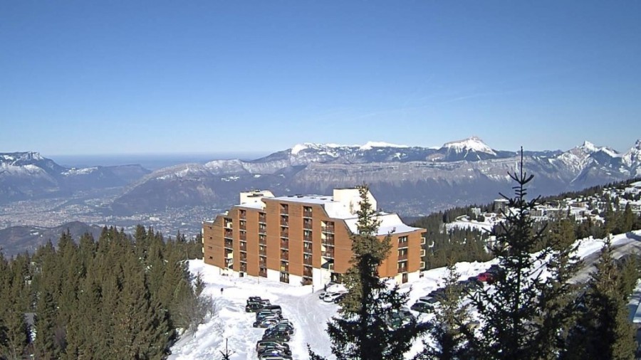
Weathertoski is currently in Les Arcs where it has been gloriously sunny so far this week and the weather will remain fine for the foreseeable future.
 Another glorious day in Les Arcs, even if it is a fraction hazier than recent days – 20 February 2019 – Photo: weathertoski.co.uk
The only discernible difference today is that we have lost the very deep blue skies of recent days and it is slightly more hazy. It will feel warm again in the afternoon sun but temperatures are not excessively high, with freezing levels expected to be close to 2200m.
It’s also most sunny again today elsewhere in the Alps, though the eastern Austrian Alps may see more in the way of cloud at times. Looking a bit further ahead, temperatures are set to rise again in most regions, especially in the western Alps where freezing levels could hit 3500m or more by Saturday. It will be cooler in the far eastern Alps, with the risk of the odd shower or flurry in the eastern Austrian Alps (e.g. Obertauern), especially on Friday.
As for snow conditions, they remain pretty good across most of the Alps, although the sheer volume of half-term traffic is inevitably taking its toll, especially on-piste.
Here in Les Arcs, for example, some of the pistes have become very scraped and even a bit icy, especially the busier runs back into resort. The best snow quality is in the shady north-facing bowls above Arc 2000 where the snow is generally more forgiving.
Updated: 9.30am Tuesday 19 February 2019 - Still sunny, temporarily cooler…
Weathertoski is in Les Arcs this week, where the weather has been sunny and is likely to remain so all week long!
 Fabulous weather in Les Arcs this week. This is Arc 2000 late in the day yesterday – Photo: weathertoski.co.uk, 18 February 2019
It is a fraction cooler today in the northern French Alps, with freezing levels expected to be closer to 2000m (as opposed to 2500m yesterday), though anyone skiing in the sunshine this afternoon is unlikely to notice!
Snow conditions in Les Arcs are generally excellent, although some of the busier pistes are inevitably becoming a bit icy thanks to the sheer volume of half-term traffic on them. On the whole the snow is remaining firm, with only some low south- and west-facing pistes turning a little slushy later in the day.
Looking more generally at the weather across the Alps today, it’s another sunny one for most, even if a few high clouds are likely to appear in some northern parts later in the day.
This sunny theme will continue for most of the week, but it may turn cloudier at times in the far eastern Austrian Alps on Thursday and Friday. Freezing levels will remain between 1200m and 2000m in the eastern Austrian Alps but will rise to 3000m or higher further west – even as high as 3700m in the French Alps by the end of the week!
Updated: 9.50am Monday 18 February 2019 – Wall to wall sunshine…
Weathertoski is currently in Les Arcs, where the sun is shining and freezing levels will level out at around 2600m today. Indeed, there hasn’t been a cloud in the sky since we left Calais early on Friday morning.
 Another glorious day in prospect in Les Arcs – 18 February 2019 – Photo: weathertoski.co.uk
This glorious weather is not just confined to France - it is sunny right across the Alps today, and the weather will remain fine for most Alpine resorts all week long. There will be more in the way of cloud across the eastern Austrian Alps from mid-week onwards, with even the odd shower or flurry, but the vast majority of the Alps will have a glorious week of weather.
Snow conditions are also generally good across the Alps, although there isn’t much obvious powder left. For that you will probably need a relatively high resort, a good guide, and be prepared to trek! However, there is plenty of good piste skiing with good snow right across the Alps.
It may feel quite spring-like in the sunshine, but it is too early in the year for slush to be a major problem. There will be a bit later in the day on some south- and west-facing slopes but the snow is generally still firm, even at very low altitude on north-facing slopes.
Updated: 9am Thursday 14 February 2019 - Sun, sun, sun!
A huge area of high pressure is dominating the weather in the Alps right now, meaning lots of sunshine in all areas over the coming days. In fact there will be virtually unbroken sunshine over many parts of the Alps all next week!
 Lots of sunshine again in the Alps today. This is Virgen in the Osttirol – 14 February 2019 – Photo: virgen.at
Yesterday we mentioned the possibility of a minor “disturbance” approaching the western Alps on Monday night or Tuesday. However, the latest weather models show that this is now much less likely and we are fairly confident that it will remain fine right across the Alps throughout the main half term week.
It will also feel pleasantly warm on the slopes, especially this weekend and later next week, although it will turn fractionally cooler early next week. This mild sunny weather won’t adversely affect the snow though as the air is very dry and, as it is only mid-February, the sun is not yet ruinously strong.
There may be a bit of afternoon slush on some very low south- and west-facing slopes but, generally speaking, the quality of the snow should be quite good – even if the pistes may become a bit hard-packed due to the sheer volume of traffic on them.
Updated: 11am Wednesday 13 February 2019 - Lots of sunshine…
Some cloud is still hanging on to the eastern Austrian Alps this morning, but it should dissipate later. Elsewhere in the Alps the weather is gloriously sunny today, at least above any low level cloud/fog patches that are mainly close to the foothills. It will feel pleasantly mild in any sunshine, especially in the western Alps where freezing levels will reach 2500m in places.
 Gloriously sunny for most of the Alps today. This is Chamrousse near Grenoble – 13 February 2019 – Photo: chamrousse.com
Over the next few days it will be mostly sunny in the Alps. It will also feel increasingly warm, especially at altitude and on slopes exposed to the sun. However, because humidity will be low, plus the fact that the sun is still not too strong in mid-February, the quality of the snow should remain good. Only on lower south- and west-facing slopes might you notice a little slush later in the day.
In a slight change to the recent weather models, it now looks like there might be a little snow for some western parts of the Alps early next week (perhaps on Monday night/Tuesday) but there is still lots of uncertainty over the timing and significance of this new turn of events. In any case, it will probably be a transitory feature and, generally speaking, we can still expect a lot of fine weather across the Alps next week.
Updated: 10.40am Tuesday 12 February 2019 - The weather in the Alps is settling down…
Some snow flurries will linger today across the northern and eastern Austrian Alps (e.g. Salzburgland, Styria), otherwise most areas will be dry with plenty of sunshine.
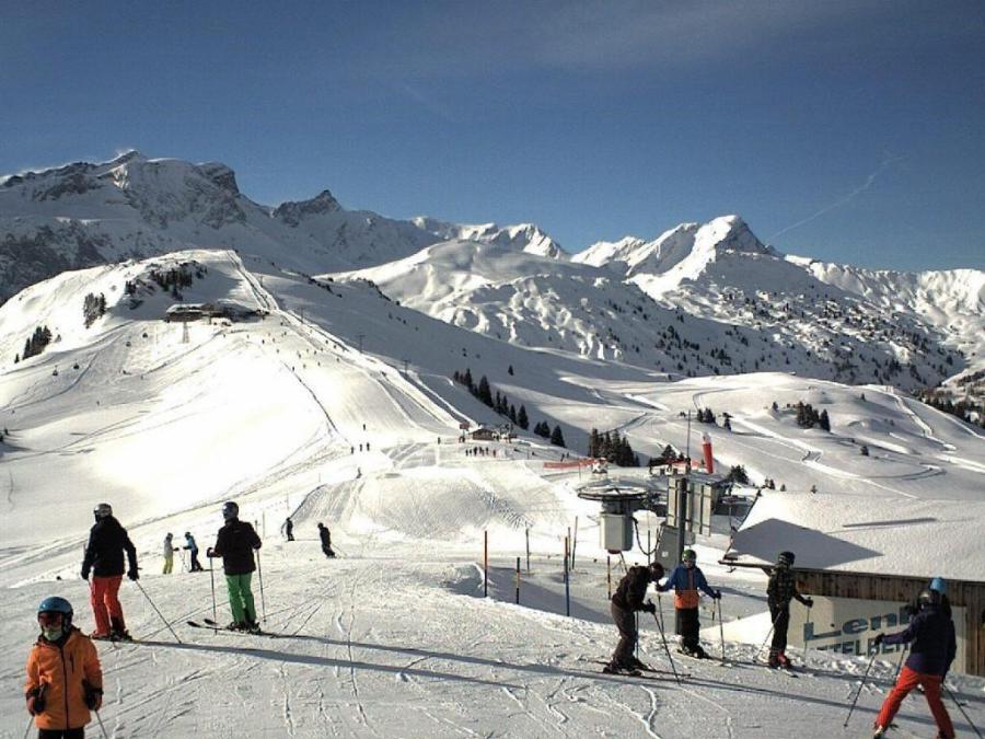 Great weather and snow conditions in Lenk – 12 February 2019 – Photo: adelboden-lenk.ch
The Alps are now entering an extended period of dry and settled weather that will last into the first part (and possibly all) of the busy half term week. This is great news for families who, for the most part, would probably choose stable and sunny weather over new snow but more unsettled conditions.
Right now though there is plenty of new snow, at least across the northern Alps, with as much as 60cm in some parts of Switzerland and western Austria (e.g. the Vorarlberg). Be aware of the high avalanche risk here though, which has been made particularly complicated by the high winds over the last couple of days.
All in all, things are looking very good as we approach the busiest part of the season. Snow depths are generally above average in the northern Alps, considerably so across much of Switzerland and Austria. In the southern Alps snow depths are generally more “normal”, if a little below average in places but, even here, snow conditions are generally very favourable, at least on-piste.
Updated: 9am Monday 11 February 2019 - Lots of fresh snow across the northern Alps…
As expected, there is lots of fresh snow across the northern Alps this morning, with 25cm in Avoriaz, 35cm in Lech and 40cm+ in some parts of the Jungfrau region (Grindelwald, Wengen, Mürren). However, note that the snow is very windblown and the off-piste in these northern regions is again hazardous.
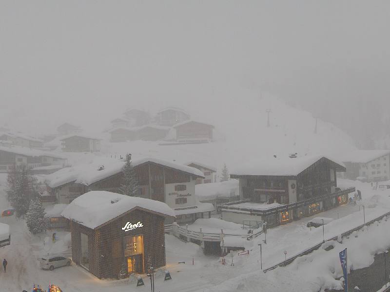 Heavy snow in Lech this morning – 11 February 2019 – Photo: lech.com
Yesterday the rain/snow limit started quite high – above 1500m in places – but it has now turned colder, with any snow falling to very low levels. Further snow showers will continue to affect the northern Alps today, heaviest in Switzerland and Austria where an additional 10-30cm is possible, but becoming lighter in France. The southern Alps will see plenty of dry bright weather with fewer flurries. It will remain windy though, which may (as it did yesterday) hamper lift operations in places.
On Tuesday the last of the snow showers will die away from Austria, leaving the rest of the week dry, fine and increasingly mild. This settled weather is expected to last well into the main half term week, which is good news for the majority of holiday-makers.
Indeed, wherever you are skiing in the Alps (or the Pyrenees) this half-term, it looks like snow conditions will be pretty good, at least on-piste.
Updated: 12.15pm Sunday 10 February 2019 - Stormy!
A new and quite potent storm has reach the Alps today which will continue to influence the weather until Tuesday. Today’s main concern is the wind which will be particularly strong and gusty in the northern and north-eastern Alps. Expect some lift closures both today and tomorrow, especially at altitude and in exposed locations.
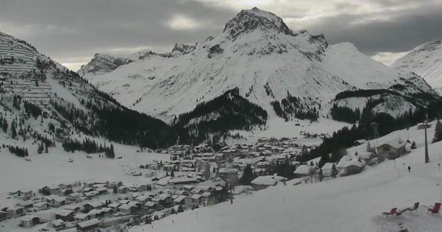 Clouding over in Lech, with snow expected tonight and tomorrow – 10 February 2019 – Photo: lech.com
This storm will also bring some significant snow to the northern Alps. This afternoon it is already snowing in parts of the northern French and western Swiss Alps, but only above 1400-1800m. Later in the day the precipitation will become more organised and move further east, reaching Austria tonight. The rain/snow limit will also lower to reach 400-700m by Monday morning.
Monday will also be windy but, as the wind will be coming from a more north-westerly direction, it will be much colder. There will be further snow showers to low levels across the northern Alps, heaviest in Switzerland and Austria, and becoming lighter in France. On Tuesday, some snow flurries will linger across Austria, especially in the east, but other northern parts of the Alps will become drier and brighter.
Between now and Tuesday we are looking at expected snowfall totals of roughly 20-50cm above 1500m in the northern Alps, with a little more in places. By the northern Alps we roughly mean the French Alps north of Alpe d’Huez/Les 2 Alpes, the Swiss Alps (with the exception of Ticino), and the Austrian Alps (with the exception of Osttirol and Carinthia).
Over the next couple of days bits and pieces of snow will also get through to the southern Alps, especially near to the northern border areas but, on the whole, any snowfall will be much less significant here and some places will even stay dry.
Looking a bit further ahead, the weather looks like it will settle down again for the second half of next week, with lots of sunshine at altitude probably lasting well into the main half term week.
Updated: 9am Saturday 9 February 2019 - Significant snow for the northern Alps later on Sunday and Monday…
A weak cold front is affecting the north-western Alps this morning, bringing a dusting of snow above 1000-1400m in places (e.g. Avoriaz). Elsewhere in the Alps it is mostly dry, with the best of any sunshine in the south. Other parts of the Alps should also brighten up as the day goes on.
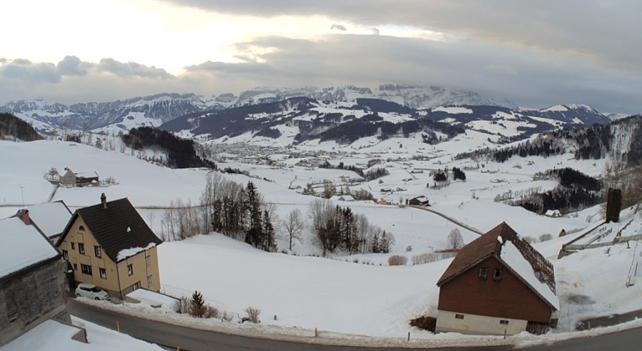 Plenty of cloud in the eastern Swiss Alps this morning. This is Appenzell – 9 February 2019 – Photo: appenzell.ch
Later tomorrow a more active storm will reach the Alps, which will deliver significant quantities snow to the northern Alps on Sunday evening/night and into Monday. The snow will clear the north-eastern Alps (i.e. Austria) on Tuesday leaving most of the Alps with a fine and settled second half to next week.
The rain/snow limit will start close to 1500m tomorrow but will lower on Sunday night, with snow falling at all skiing levels by Monday morning. Snowfall totals across the northern half of the Alps will typically be between 20-50cm, with a bit more in some favoured spots.
Bits and pieces of snow may get through to parts of the southern Alps but, on the whole, the southern Alps will see far less precipitation, with some places staying dry altogether.
Updated: 11am Friday 8 February 2019 – Great snow conditions again in the Alps…
A little snow fell across the northern Alps last night, generally just 2-5cm but as much 10-15cm in one or two favoured spots such as in the Jungfrau Region of Switzerland. Today the sun is back but areas of high cloud may turn it hazy at times.
 Lovely day in Avoriaz, although high cloud is making the sun a little on the hazy side – 8 February 2019 – Photo: avoriaz.com
On Saturday many places will be dry, but it will be cloudier in the northern and especially north-western Alps, with a little rain/snow (1200m) in the northern French and western Swiss Alps.
The next major storm will arrive later on Sunday and will continue to influence the weather in the Alps until Tuesday. This storm won’t deliver as much snow as once hoped to the southern Alps, but it will bring significant quantities of snow to the northern half of the Alps, especially the northern French, Swiss and western Austrian Alps.
For more details check out our latest snow forecast out later today…
Updated: 11.20am Thursday 7 February 2019 - A little snow for the north-western Alps…
A weak cold front will bring a little snow to the northern and especially north-western Alps today but it won’t amount to very much, and most of the Alps will stay dry.
 In the eastern Austrian Alps, Obertauern will hang on to the fine weather for most of today – 7 February 2019 – Photo: obertauern.com
Later today and overnight, the areas that might catch a little snow (5-10 cm at best) include the northern French Alps (e.g. Avoriaz), the northern and western Swiss Alps (e.g. Wengen) and the western Austrian Alps (e.g. Lech). The snow limit will start at around 1000-1500m, and will tend to lower to under 1000m later.
The next significant snow will fall late on Sunday, and on Monday and Tuesday across most of the Alps before high pressure (and therefore more settled conditions) return to the Alps for the latter half of next week.
For more detail on snow conditions in the Alps, check out our detailed snow report out later today.
Updated: 9.15am Wednesday 6 February 2019 – Sunny today, cloudier in northern Alps tomorrow…
It’s another lovely day in the Alps, at least above any bits and pieces of valley fog/low cloud. It will also feel pleasantly mild, especially on south- and west-facing slopes this afternoon.
 Another glorious day in the Austrian Vorarlberg. This is Warth-Schröcken – 6 February 2019 – Photo: koebersee.at
On Thursday a weak cold front will bring more in the way of cloud to the northern Alps with a light dusting here and there later in the day (first above 1500m, lower later). The next major snowfall will be later on Sunday and on Monday, with significant accumulations expected across many parts of the Alps.
In the meantime, there is lots of good skiing right across the Alps, with base depths generally above average, and often considerably so. There is also still some good powder to be found, especially at altitude, but a good guide and/or local knowledge is increasingly necessary in order to find it, as most of the obvious lines have long been tracked out.
Updated: 10.40am Tuesday 5 February 2019 - Lots of sun, turning milder…
The weather in Alps is magnificent right now, with lots of sunshine and pleasant (though not excessively mild) daytime temperatures. With deep snow cover in most areas, this is an excellent time to be skiing in the Alps!
 Magnificent skiing conditions and weather in the Austrian Vorarlberg. This is Schröcken – 5 February 2019 – Photo: warth-schroecken.at
This fine weather will continue tomorrow, but weak weather fronts will then flirt with the northern Alps on Thursday bringing a dusting of snow here and there – first above 1400m, then to lower levels later. Significant precipitation is not expected though, and the southern side of the Alps should stay dry.
Friday and Saturday should be mostly fine again, but we are expecting some more active weather fronts to reach the Alps later on Sunday and on Monday, with the potential for significant snowfall in many areas. Watch this space…
In the meantime, snow conditions in the Alps are excellent both on and off-piste right now– although you will increasingly need good local knowledge or a guide to find untracked powder.
Updated: 9.40am Monday 4 February 2019 - Fantastic snow conditions across the Alps…
A lot of snow has fallen across the Alps over the last few days. The western and southern Alps (especially France and Italy) were first to see significant snowfall, before the heaviest snow transferred across to the northern Alps (especially Switzerland and Austria) yesterday.
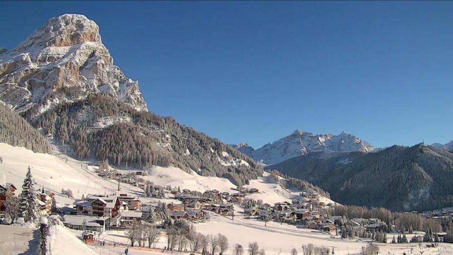 Amazing conditions in the Dolomites right now. This is Colfosco – 4 February 2019 – Photo: altabadia.org
Snow conditions in the Alps are truly exceptional now, with no weak links in sight. The weather has also improved, and it will stay mostly fine over the next few days, meaning that anyone skiing in the Alps this week is in for a real treat.
All this snow is also excellent news for half-term holidaymakers, who are now guaranteed good snow cover at all altitudes and in all Alpine locations.
Updated: 11.50am Saturday 2 February 2019 - Huge quantities of new snow in the southern and western Alps…
In the last 24 hours, massive quantities of snow have fallen across the western and southern Alps, including the French and Italian Alps, some western and southern parts of the Swiss Alps (e.g. Portes du Soleil, St Moritz) and the far south of Austria (e.g Nassfeld).
 Amazing snow conditions in the Portes du Soleil this morning, but with the risk of avalanche at 5/5, off-piste is out of the question. This is Champéry – 2 February 2019 – Photo: telechampery.ch
These regions have seen between 30cm and 80cm of new snow in the last 36 hours alone, with close to a 1m even in some areas in the central and eastern Italian Alps such as Passo Tonale and certain parts of the Dolomites (e.g. Arabba).
With a bit of a weather window this morning, snow conditions have therefore been absolutely amazing, especially in France where the sun was out, for a while a least. However, with the risk of avalanche sky high (5/5) in places, the off-piste was (and still is) exceptionally dangerous.
This afternoon, flurries are continuing in the south-eastern Alps (e.g. Dolomites) and the weather is clouding over again in the western Alps, with further snow expected to hit France soon, spreading further east across the Alps tonight. Further snow is expected in places on Sunday, with the heaviest snow shifting towards the northern Alps (e.g. Mürren, Engelberg, St Anton, Kaprun) before the weather starts to settle down early next week.
So, as we approach the busiest part of the ski season, the snow situation in the Alps has become very good indeed, with hardly a weak link left anywhere.
Updated: 9.40am Friday 1 February 2019 - Dumping in the western and southern Alps!
It’s snowing across the western and southern Alps this morning, especially in France, Italy and parts of southern and western Switzerland. By contrast, protected by the Foehn, the north-eastern Alps are mostly dry, if rather cloudy (e.g. Salzburgland).
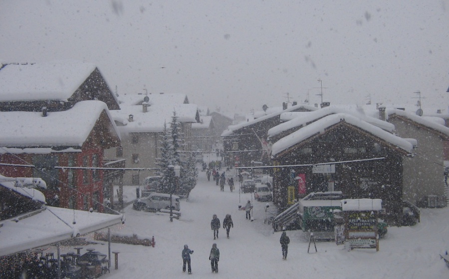 Dumping in Livigno today – 1 February 2019 – Photo: livigno.eu
The biggest snowfall totals today will be close to the Écrins in France (e.g. Les 2 Alpes), the far south-east of Switzerland (including and south of St Moritz), and the central and eastern Italian Alps (e.g. Passo Tonale, Madonna di Campiglio). These areas should 40-70cm by tomorrow morning, and possibly as much as 1m in some favoured locations.
The weather will continue to be unsettled over the weekend, with further snowfall in many places, first favouring the south-east (e.g. Dolomites) then the northern Alps (e.g. Avoriaz, Engelberg, St Anton) again later.
The weather should start to improve early next week, by which time just about all parts of the Alps should be in fabulous shape. Note, however, that the risk of avalanche over the next few days will be high or even very high.