Latest snow report
Updated: 12pm Friday 10 February 2023
Snow conditions in the Alps are generally not too bad on the eve of the busiest week of the season, despite much of the Alps having not seen any new snow for quite some time now.
Snow cover is still ok at most levels, on-piste at least, but the lack of fresh snow does mean that the slopes are often quite hardpacked and even icy in places. It’s not like this everywhere or all the time though, with the areas least likely to be icy being the ones with less skier traffic, at high altitude, with sheltered, shallow-gradient slopes. The strengthening sun also starts to play a part at this time of year, with a more pronounced softening of the snow as the days go on, at least on south-facing slopes. North-facing slopes are less affected by snowmelt at this stage, especially if humidity is low, like it will be for much of next week.
Notwithstanding all of the above, most holidaymakers can expect perfectly pleasant skiing conditions next week. And, if it’s sun you are after – which will almost certainly be the case for most families skiing this half term – you are in luck, with lots of sunny and increasingly mild weather forecast across all regions virtually all week.
The one obvious exception is the far north-eastern Austrian Alps (e.g. Schladming), where it will be cloudier with the odd light snow flurry on Sunday. Otherwise, the Alps can look forwards to lots of sunshine over the coming days with freezing levels rising to between 2500m and 3000m from Sunday onwards.
As for the off-piste, it will mostly be hard-packed, but with good local knowledge or the help of a good guide, there are still some pockets of powder to be found, mostly in Austria, eastern Switzerland and close to the southern French/Italian border.
Across the pond, the best snow conditions remain in Utah and California…
Austria
Austria probably has the best snow conditions of the four main Alpine countries right now, thanks to having received the lion’s share of the last storm’s snow, with 30-70cm having fallen late last week across a wide swathe of the Austrian Alps (away from the far south), and over 1m in some eastern areas.
Obertauern (150/220cm) continues to be as good as anywhere right now while, in the west, Lech-Zürs (85/170cm) is also skiing nicely, with predominantly sunny skies and cool temperatures.
The classic lower resorts of the Tirol and Salzburgland are also offering some good skiing, but with more in the way of icy patches in resorts such as Kitzbühel (75/92cm), especially where skier traffic is heavy.
Except for the odd flurry in the far north-east this weekend, you can expect plenty of sunshine and gradually rising temperatures over the coming days.
France
There is lots of good skiing to be had across the French Alps right now despite it generally not having snowed here for quite some time. There was an odd dusting this week in some of resorts close to the southern French/Italian border, such as Isola 2000 (140/160cm) and Montgenèvre (200/270cm), which has helped to freshen things up.
On the whole though, both the pistes and the off-piste are quite hardpacked with some icy patches, most of which are on steeper runs with high skier traffic. It is still possible to find grippy snow, especially on higher slopes with shallower gradients and in less frequented areas.
Whatever the case, all areas are due a lot of sunshine over the half term week and, after a coolish start, temperatures will rise considerably early next week with freezing levels typically between 2500m and 3000m. This rise in temperature will allow some softening of the snow, especially on lower south-facing slopes but, on the whole, it is still too early in the year for any serious freeze-thaw cycles.
Right now, settled snow depths are 35/95cm in Châtel and 95/150cm in Val Thorens.
Italy
There is plenty of enjoyable piste skiing on offer across the Italian resorts, even if most areas haven’t seen any significant snow for a while and snow depths remain relatively modest. One area that has seen a couple of dustings in recent days, and is skiing as well as anywhere right now, is Sestriere (40/110cm) in the Milky Way.
On the other side of the Alps, the Dolomites continue to offer reliably good piste-skiing, with 40/100cm in Arabba. As with many other parts of the Alps though, the snow is quite hard-packed with some icy patches, especially in busier areas.
With lots of sun in the forecast both this weekend and for much of next week, expect some softening of the snow on south-facing slopes, especially as freezing levels are also set to climb, reaching 2500-3000m in most areas early next week.
Switzerland
The best snow conditions in Switzerland are currently to be found in the north-east, where some snow fell earlier this week. Klosters (40/110cm) did quite well from this storm and its pistes are in great condition, with pockets of powder still possible to be found off the beaten track.
Further west and south, there hasn’t been any significant snow for some time meaning that the pistes are more hard-packed in both Verbier (40/90cm) and Zermatt (10/75cm) where base depths are considerably below average for the time of year. You can still find some good skiing here too, particularly at altitude.
No significant snow is expected to fall in the Swiss Alps over the next week. With freezing levels set to climb significantly on Monday, the snow will also start to soften, especially on lower south-facing slopes.
Rest of Europe
Although some fresh snow fell in the Pyrenees earlier this week, snow depths generally remain relatively modest with “firm” pistes in Andorra’s Soldeu (25/80cm) where it will also be mostly sunny next week, at least to begin with. The best snow conditions remain in Spain’s Baqueira Beret (115/165cm).
Snow conditions remain good across most of Scandinavia, with 70/130cm in Norway’s Hemsedal where a dusting of snow will freshen things up today. Snow depths are more modest in Sweden’s Åre (35/50cm) where pistes are described as hard-packed.
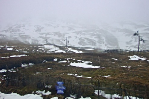
Snow conditions in Scotland are not great right now. Most of the resorts do have some snow but fluctuating temperatures have taken their toll, with very mixed snow conditions and weather forecast over the coming days. Glencoe continues to have the best upper cover with over 1m in some of its higher gullies. However, if you are planning a trip to Scotland, you should check the status of individual resorts at www.winterhighland.info.
USA
Utah and California continue to lead the way in the US, with fabulous conditions in Snowbird which picked up another 5cm of snow yesterday and has a mid-mountain base depth of 315cm.
California’s Mammoth is the other stand-out resort in terms of snow depths, having picked up another 30-40cm earlier this week with an incredible 622cm snowpack up top.
Snow depths may be less extreme in Colorado, but they still have some good skiing on offer, with a few centimetres of fresh snow in Winter Park, for example, where the mid-mountain depths are around 165cm.
Canada
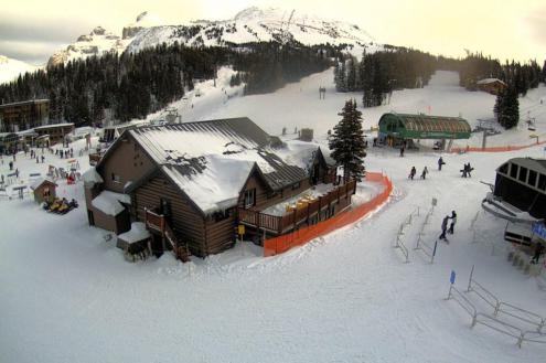
Snow conditions have improved in Lake Louise with 23cm of fresh in the last four days. Snow depths remain below par though, in what has been a lean season for this area overall.
Further west, Whistler (40/200cm) is also improving, with more snow forecast to low levels both today and on Sunday.
Our next full snow report will be on
Saturday 25 February 2023
If you enjoy reading our updates - please feel free to support us:


