

Latest snow forecast
Updated: 7.15pm Friday 19 November 2021
High pressure is currently dominating the weather in the Alps and will continue to do so until later in the weekend. This means that it will be dry for the next 36 hours or so, with some cloud around but also plenty of sunshine, especially at altitude. It will also be mild, with freezing levels often around or in excess of 3000m, and just a little cooler in some eastern parts of the Alps, i.e. Austria.
Next week is an entirely different and increasingly complicated story. The weather in the Alps will start to turn more unsettled late on Sunday as a small area of low-pressure forms in the Mediterranean. As this storm is forming, a weak cold front will also start to approach the Alps from the north, both these features clearly visible on the Met Office pressure chart below for midnight on Sunday.
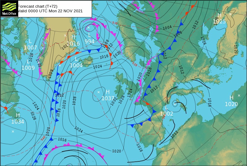 The Met Office chart for midnight on Sunday 21 November clearly shows a small area of low-pressure forming in the Mediterranean as a weak cold front starts to approach the Alps from the north – Image: metoffice.gov.uk, 19 November 2021
The Mediterranean storm will bring a few centimetres of snow (1300m) to some southern parts of the Alps, notably in the south-west (e.g. Isola 2000) on Monday. The cold front will also bring the odd flight flurry (1300m) to the northern Alps (e.g. Engelberg), though many parts of the Alps (especially the inner Alpine areas) will stay dry.
On Tuesday the two weather fronts will merge across the Alps, meaning that some flurries are possible almost anywhere. However, at this stage widespread significant snow is not expected. One exception may be the far southern French Alps (e.g. Isola 2000) and the south-western Italian Alps (e.g. Limone), where some heavier snowfalls are likely later in the day.
Later in the week the highest chance of snow continues to be in the southern and south-western Alps before other areas get more of the action towards next weekend. However, this remains a long way off and could be subject to change.
One thing we can be sure of is that it will be cold enough for the snow cannons to start operating at full throttle so, all in all, it is looking quite promising as we edge towards the beginning of the main season.
Detailed snow forecast:
Austria
Saturday and Sunday will be dry in Austria, with variable cloud but good spells of sunshine. Temperatures will be mild on Saturday, with freezing levels above 3000m, but cooler on Sunday with freezing levels dropping closer to 2000m later in the day.
Monday will feel much colder and will see more in the way of cloud with the chance of a few light flurries (1000m) here and there.
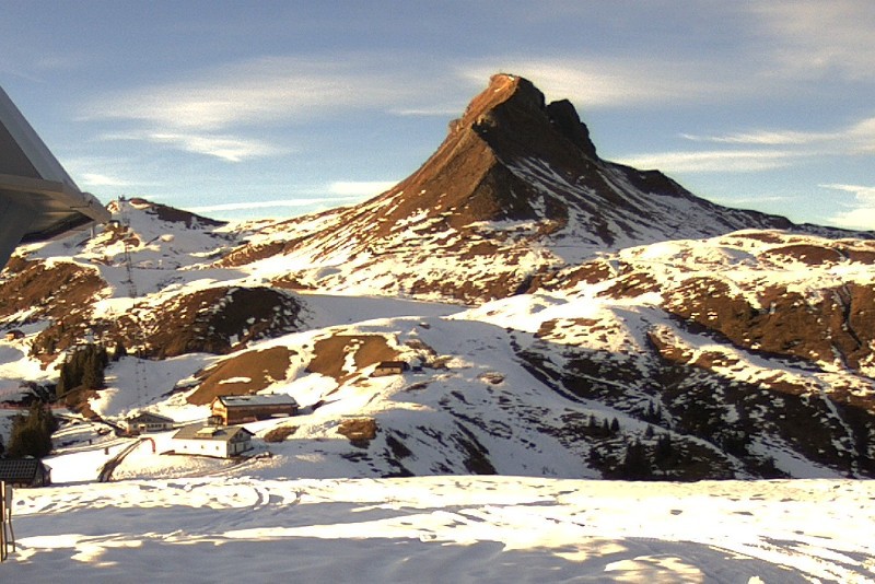 Bright skies in the Austrian Vorarlberg on Friday. This is Damüls – 19 November 2021 – Photo: damuels.at
France
Saturday will be dry in the French Alps, with good sunny spells above any low-lying cloud or fog. It will be mild with freezing levels above 3000m.
Sunday will be cooler but still mostly dry with sunny spells. That said, cloud will increase later in the day, with a few light showers or flurries (1100-1400m) possible overnight.
Monday will be mostly dry but cloudy, with just the outside chance of a light shower or flurry (1000m).
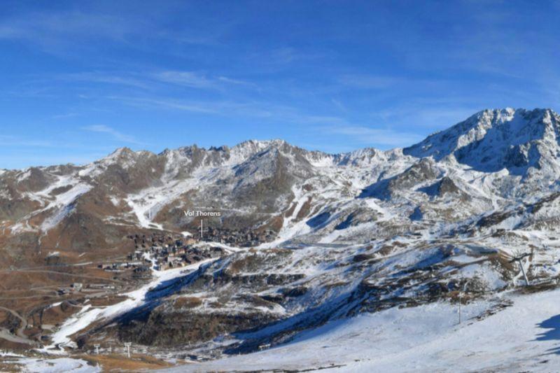 Sunny today in Val Thorens and probably will remain so for much of the weekend – 19 November 2021 – Photo: valthorens.com
Italy
Saturday will be dry in the Italian Alps, with mild temperatures (freezing levels close to or above 3000m) and plenty of sunshine at altitude.
Sunday will continue dry but cooler, with sunny spells for most, though cloud will increase later in the day with the risk of the odd shower or flurry overnight (1400m), particularly in the far south of the Piedmont.
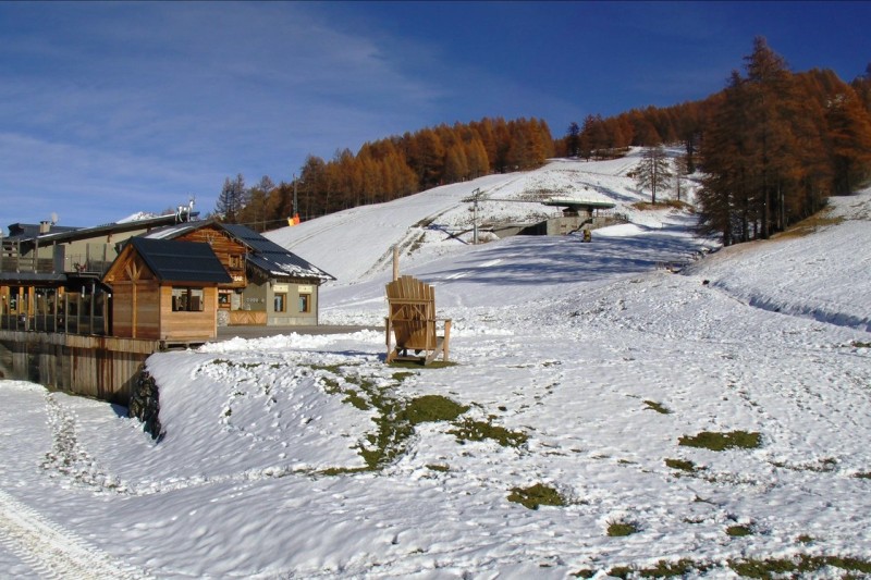 Sunny skies today in Bardonecchia in the Italian Piedmont, but snow is expected in this south-western corner of the Alps next week – 19 November 2021 – Photo: bardonecchia.it
Switzerland
Saturday will be dry in the Swiss Alps, and mostly sunny above any low-lying cloud or fog. It will also be mild, with freezing levels above 3000m.
Sunday will be cooler with freezing levels dropping towards 2000m, remaining mostly dry with sunny spells during daylight hours, but increasing cloud and a few showers or flurries (1000-1300m) overnight.
Monday will be generally cloudy with the odd light shower or flurry (1000m) here and there.
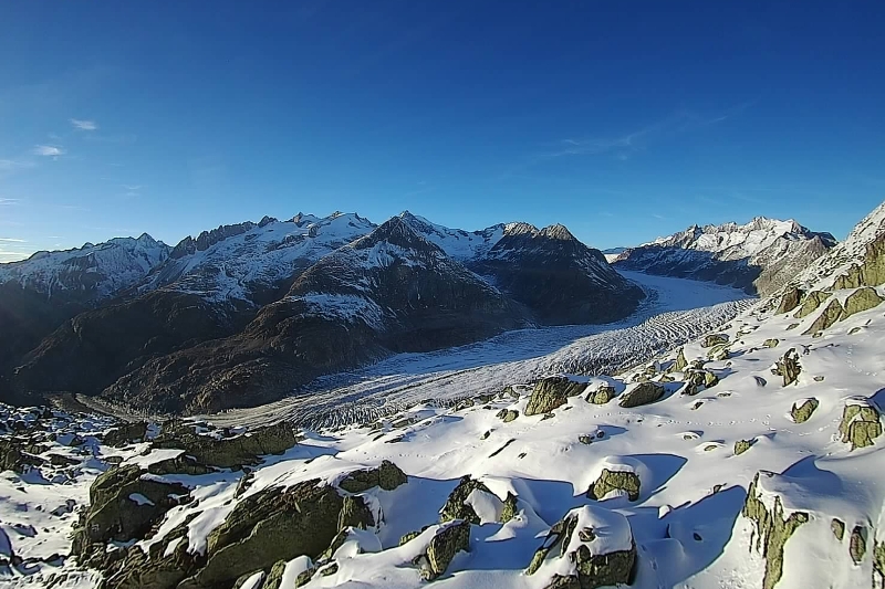 Good visibility at the top of the Aletsch Arena late on Friday with fine views of the Aletsch glacier – 19 November 2021 – Photo: bettmeralp.ch
Outlook:
The outlook is looking complicated, though it currently seems that pressure will remain low in the Mediterranean with the greatest chance of snow mid-week in the southern Alps, particularly in the south-west.
Later in the week or over the weekend a more vigorous pulse of Arctic air may bring some more widespread snow to the Alps, but any predictions for this period remain volatile this far out.
Our next detailed weather & snow forecast will be
on Friday 26 November 2021
If you enjoy reading our updates - please feel free to support us: