Latest snow report
Updated: 2.30pm Friday 1 December 2023
Snow conditions in the Alps are rather mixed right now.
At altitude, snow cover is generally good for the time of year, with the higher French resorts (e.g. Tignes, Val Thorens) and the Austrian Arlberg/Vorarlberg (e.g. St Anton, Lech) looking particularly snowy.
However, conditions across the Alps are currently being affected by a major storm system that is dropping significant quantities of both rain and snow across the Alps, with a rain/snow limit that has reached as high as 2400m across some regions (e.g. most of French Alps), but which will descend again later today as colder weather slowly digs in from the north.
Needless to say, snowfall totals from this storm will be impressive once it starts to move away from the Alps later tomorrow. Lower down though, many areas will end up with a ‘net snow loss’, even if the descending snowline will provide a bit of a cosmetic cover-up by the end of the storm!
Across the pond, snow conditions are generally modest, but new snow is on its way for many areas over the next few days…
Austria
Austria has done pretty well so far this season, with generally excellent snow cover at altitude. Resorts that are now guaranteed a good base as we move towards Christmas include Obertauern (80/110cm), Ischgl (80cm upper base) and Lech (90/150cm).
Lower down, cover is thinner but resorts such as Kitzbühel (0/50cm) are still able to offer some reasonable piste-skiing on a mixture of natural and artificial snow.
More snow is forecast right across Austria over the next couple of days, with some serious snowfalls at altitude, though there will also be some rain in the mix lower down, especially at first.
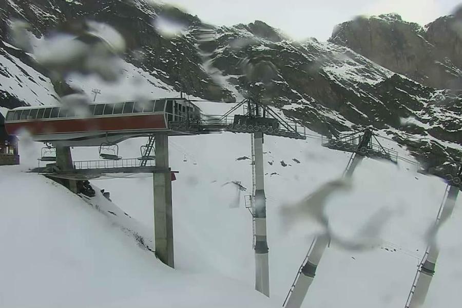
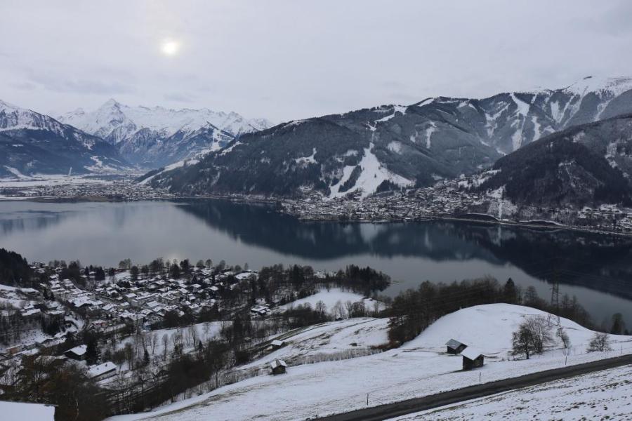 Snow cover is thin lower down in Zell-am-See, but the rain/snow limit should lower to the valley bottoms again later tonight – 1 December 2023 – Photo: zellamsee-kaprun.com
France
High French resorts such as Tignes (45/200cm) and Val Thorens (70/130cm) have a lot of snow at altitude and are now totally set for the season, even if it has rained to as high as 2400m during the current storm.
Lower down, the picture is more mixed, with some of the recent snowfall having been washed away again by the current rain. That said, it is still early days, with the likes of Morzine and Megève not due to open properly for a while yet.
On the whole, the southern Alps currently have less snow than the north. Isola 2000 (5/20cm), for example, is due to open on Saturday but with very modest cover and plenty of artificial help.
More snow is due at altitude across the French Alps today and for a time tomorrow, with rain falling to over 2000m at first though the snowline will gradually descend later today and especially tonight.
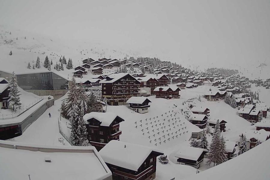
 Tignes has masses of snow for the time of year despite some having seen some rain lower down during the current storm – 1 December 2023 – Photo: tignes.net
Italy
Snow conditions are mixed across the Italian Alps, generally quite good in the few high-altitude resorts open such as Cervinia (5/190cm) and Livigno (25/50cm), even though the extent of skiing available is still relatively limited.
Lower down, snow cover is thinner and patchier, though many lower resorts have yet to open for the season, so it is not a major concern just yet.
In the far south-east, some Dolomite resorts such as Kronplatz (5/60cm) are partially open, thanks largely to artificial snow, with many more set to join them this weekend.
Snow is forecast at altitude in the Italian Alps over the next couple of days, especially in the Dolomites on Friday night/Saturday when the rain/snow limit will also drop considerably.
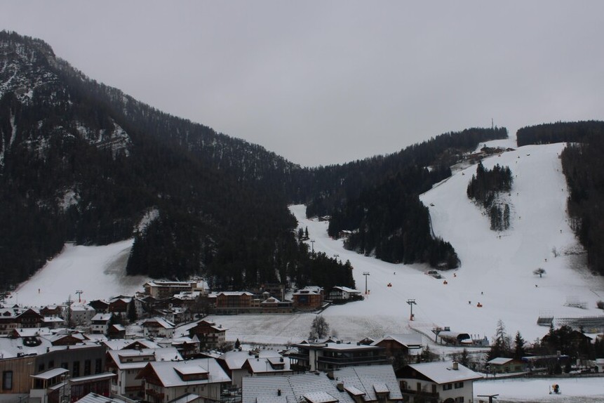 Snow cover is modest in the Dolomites right now, but lots is forecast at altitude over the next day or two – Photo: kronplatz.com, 1 December 2023
Switzerland
Snow conditions are quite variable across the Swiss Alps right now, generally good at altitude, especially in the north where Engelberg (10/105cm) and Davos (30/122cm) both have impressive upper snow depths for the time of year.
In the western Swiss Alps, Verbier (10/128cm) also has plenty of snow higher up, while Zermatt (5/50cm) is playing catch-up after a slower start to the season.
All these areas will have endured some rain lower down from the current storm but will have also seen lots more snow falling higher up.
Temperatures will turn colder again late on Friday, and especially on Saturday, with some snow getting down to lower altitudes.
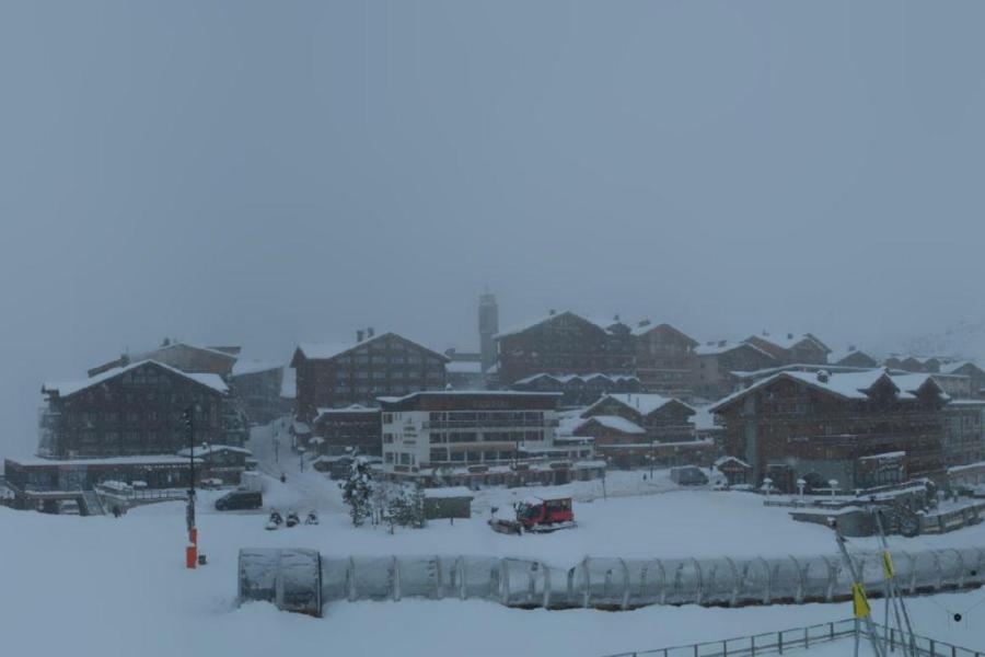
 Plenty of snow in high altitude Bettmeralp despite it having seen a bit of rain at resort level from the current storm – 1 December 2023 – Photo: bettmeralp.ch
Rest of Europe
Mild and rainy weather has washed away a lot of the snow in the Pyrenees, where Spain’s Baqueira Beret (5/30cm) is the only option right now, and not in great shape.
Scandinavia is faring better, thanks to some persistently frigid weather, with lots of resorts at least partially open. Finland’s Ruka has around 10 lifts open on a 30cm base, but maximum daytime temperatures are around -10°C!
Scotland still doesn’t have enough snow to offer any lift-served skiing.
 Some snow hanging on at the top of the Cauterets ski area in the French Pyrenees, but rain has washed much of it away – 1 December 2023 – Photo: cauterets.com
USA
Lots of western US resorts are partially open but all with below average cover for the time of year. Vail (35/58cm), for example, only has around 12% of its area operational right now, though snow is forecast over the next few days which should greatly improve things.
Significant snow is also forecast in Alta, Utah where upper snow depths are currently around 85cm and the resort is 30% open.
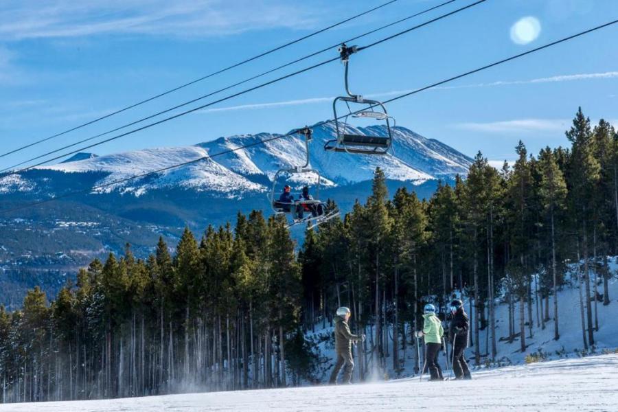 Breckenridge is offering decent piste-skiing despite the modest snow depths, though new snow is forecast this weekend – Photo: facebook.com/breckenridge, 1 December 2023
Canada
A dozen or so resorts are partially open in Canada, with Whistler (55cm upper base) and Lake Louise/Banff (45cm upper base) offering the greatest extent of terrain, albeit still limited. Snow depths are modest for now but will increase significantly in Whistler over the next week or so as there is plenty of snow in the forecast. Further inland, however, resorts including Lake Louise will see new snow fall in much more modest quantities.
Our next full snow report will be on
Friday 8 December 2023
If you enjoy reading our updates - please feel free to support us: