

Latest snow forecast
Updated: 12pm Friday 7 January 2022
The weather in the Alps remains cool and unsettled, with further snow forecast for many areas this weekend, heaviest in the north-west.
The first set of fronts will reach the north-western Alps this afternoon, bringing some mostly light snow to the northern French and western Swiss Alps, which will spread further east tonight. Aside from the far north-western Italian Alps (e.g. Courmayeur), the southern Alps will be less affected by this storm, with just a few flurries close to the border areas. Some areas (e.g. Dolomites) will stay completely dry.
A second, more potent storm will reach the north-western Alps on Saturday night and continue to influence the weather on Sunday. Again, the heaviest snow will fall in the north-west – i.e. the northern French Alps (including Alpe d’Huez/Les 2 Alpes), the western and northern Swiss Alps (e.g. Verbier, Gstaad, Wengen and Engelberg), the far north-west of Italy (e.g. Courmayeur, La Thuile) and the far west of Austria (Arlberg).
Between now and Sunday evening we can expect 20-40cm of new snow quite widely across these areas above 1500m, with 50cm+ in places in the northern French Alps (e.g. Portes du Soleil) and the far west of Switzerland.
The southern Alps will see less snow from this storm, with no snow at all in places...
Detailed snow forecast:
Austria
Friday afternoon will be mostly dry in Austria with plenty of sunshine, although cloud will thicken up in the far west (e.g. Arglberg) with a little snow (to very low levels) likely by evening. This light snow will spread right across the northern half of the Austrian Alps on Friday night.
Saturday will see bright spells and occasional snow flurries (to low levels) across the northern and western Austrian Alps. It will remain dry further south (Carinthia, Osttirol), with more in the way of sunshine.
Sunday will be much cloudier with more continuous snow to relatively low levels across most of the Austrian Alps, though the far south (Carinthia) might escape with just a dusting. Elsewhere we can expect around 5-20cm of new snow, with 20cm more likely in the western Tirol and Vorarlberg (e.g. Lech).
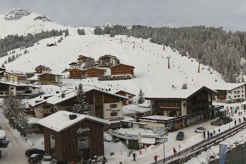 Cloud thickening up across Lech this afternoon where light snow is expected tonight – Photo: lech-zuers.at
France
Friday afternoon will see cloud thicken across the northern French Alps with some light snow to low altitudes later, continuing overnight. The far south will be brighter and will remain mostly dry tonight.
Saturday will remain dry in the far southern French Alps, but further north there will be a few flurries (500m), intensifying later in the day. These will continue overnight with the rain/snow limit rising towards 800-1000m across some exposed areas for a time but staying lower in the enclosed valleys.
Sunday will be mostly cloudy with heavy snow early on across the northern French Alps, turning more showery later. The rain/snow limit will lower again towards 400-600m. The far southern French Alps will again miss most of the action. Between now and Sunday night we can expect 30-40cm above 1500m across most of the northern French Alps (e.g. Paradiski, L’Espace Killy), with as much as 50cm possible in the Grand Massif, Portes du Soleil and on the northern side of the Mont Blanc area (e.g. Le Tour).
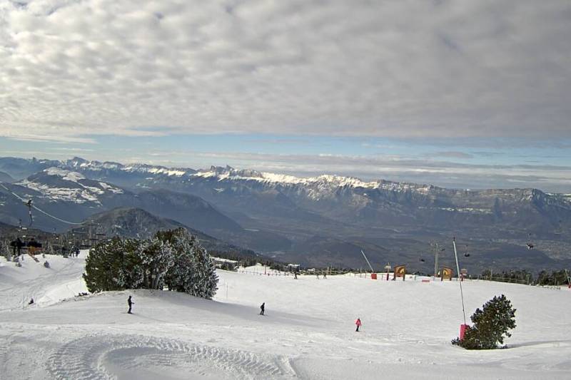 Cloud increasing this afternoon in Chamrousse near Grenoble, with light snow expected this evening – 7 January 2022 – Photo: chamrousse.com
Italy
Friday afternoon will be dry and bright for most of the Italian Alps, but cloud will increase in the north-west (e.g. Courmayeur) later with a little snow likely overnight.
Saturday will see a few early flurries close to the north-western border regions, otherwise most areas will be dry, bright and cold. Later in the day, cloud will increase in the north-west with further snow forecast to low levels on Saturday night.
Sunday will see further flurries to low levels in the north-west, otherwise most other regions will again be mostly dry with sunny spells.
 Sunny skies in Kronplatz today with little or no snow expected this weekend – 7 January 2022 – Photo: kronplatz.it
Switzerland
Friday afternoon will see cloud increase in the western Swiss Alps, with some light snow to low levels later. It will stay dry and bright further south and east. On Friday night this light snow will move further east, but mostly affecting the northern half of the Swiss Alps (e.g Jungfrau region, Engelberg).
Saturday will be mostly cloudy in the northern Swiss Alps with some early flurries. After a drier spell in the middle of the day, snow will return on Saturday evening and persist on Saturday night. The rain/snow limit will rise towards 800/1000m in some exposed mountain ranges but will remain low in the more enclosed valleys of the central Swiss Alps. The southern Swiss Alps will see much lighter and patchy precipitation with some places staying dry.
Sunday will see further showers or longer spells of snow to low levels, mostly across the northern Swiss Alps, with the far south again generally staying dry. Between now and Sunday evening we can expect 20-40cm of new snow above 1500m across the northern and western Swiss Alps (e.g. Engelberg, Jungfrau Region, Gstaad, Verbier), but less further south and east.
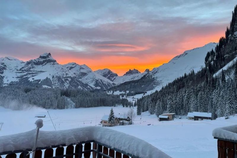 A bright start for Engelberg today but light snow is expected this evening – 7 January 2022 – Photo: facebook.com/engelberg.titlis
Outlook:
It will be a chilly start to next week with plenty of sunshine across the central, southern and western Alps. Parts of Austria may see more in the way of cloud though, with the risk of flurries, especially the further east you are.
Our next detailed weather & snow forecast will be
on Friday 14 January 2022
If you enjoy reading our updates - please feel free to support us: