Latest snow report
Updated: 7.15pm Friday 24 March 2023
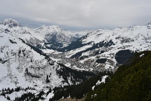
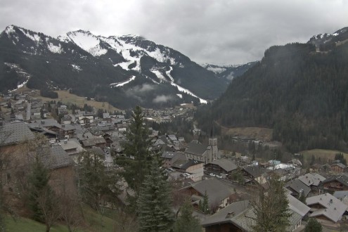
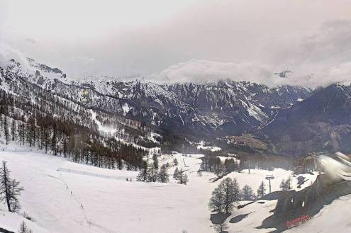
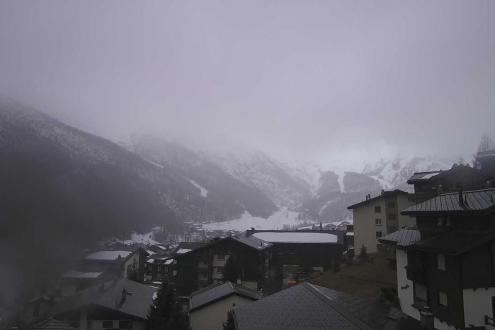
Snow conditions in the Alps have deteriorated over the last week thanks to mild weather and the increasingly strong spring sun. You can still find some decent skiing at altitude, mostly on-piste, but lower down natural snow is patchy with some smaller resorts already closed or on their last legs.
Over the next two or three days the situation will improve considerably at altitude, at least across the northern half of the Alps where significant fresh snow is due. However, there will also be rain lower down, at least until late on Sunday and Monday when colder air from the north will bring snow to much lower levels for a time. The southern Alps will be less affected by this new storm cycle.
In short, if you are planning a late season ski holiday in the Alps, it is still best to aim for a resort with plenty of skiing above 2000m, such as Tignes, Val d’Isère, Val Thorens, La Plagne, Cervinia, Ischgl and Obergurgl.
Across the pond, most western US ski areas are continuing to offer some excellent late season skiing, especially those in California and Utah...
Austria
Most low Austrian resorts are now looking very threadbare. You can still find some reasonable piste-skiing at altitude in the likes of Kitzbühel (5-90cm) and Söll (5-50cm), but only if you time it right as spring-snow conditions are now the order of the day.
For better snow quality you need to head much higher, to resorts such as Obergurgl (40/80cm) and Ischgl (10/120cm) where most of the skiing is above 2000m.
Some snow is expected at altitude over the next few days, and lower down for a time early next week before it turns milder once again.
France
Snow conditions in French resorts like Val d’Isère (100/185cm) and La Plagne (105/295cm) remain fairly decent higher up. However, lower down, the recent warm weather has melted most of any natural snow and there is a very ‘end of season’ feel in the likes of La Clusaz (0/240cm) and Megève (5/95cm).
Significant snow is expected across many French resorts in the next few days, mostly at altitude, with 30-50cm set to fall above 2000m by Monday in the Tarentaise, for example.
The rain/snow limit should fall to lower levels (1000m) for a time on Monday but not for long enough to make any material difference to the areas that have already lost their base.
Italy
Snow depths remain modest across most Italian ski areas, but you can still find some good skiing high up in resorts like La Thuile (50/260cm) and Cervinia (15/140cm). Lower down, spring conditions (i.e. afternoon slush) are more prominent, meaning that is best to ski earlier in the day in resorts like Sauze d’Oulx (20/110cm) and Selva (10/50cm) in the Dolomites.
Most Italian ski areas will only see bits and pieces of snow at altitude over the next few days but north-western resorts like Courmayeur (30/100cm) and La Thuile will see as much as 30-50cm above 1800m by Monday, before it starts to warm up again later next week.
Switzerland
Snow conditions are very mixed across the Swiss Alps, with universally below average snow depths and only patchy natural snow cover in lower resorts like Gstaad (5/55cm) and Grindelwald (0/45cm).
For more consistent snow conditions, you need to aim much higher to resorts like Zermatt (10/140cm) and Verbier (25/135cm) but, even here, the snow cover is disappointingly thin.
Significant snow is expected across many Swiss resorts over the next few days, at least at altitude, heaviest in the north and west where the likes of Verbier, Crans Montana (5/100cm) and Mürren (20/195cm) may see 20-40cm above 2000m by the end of Monday.
Rest of Europe
You can still find some reasonable piste-skiing at altitude in the Pyrenees, though spring conditions rule in Andorra’s Soldeu (20/60cm) where there is also not much in the way of new snow in the forecast.
Norway continues to offer some good skiing, with more comprehensive top to bottom cover in Hemsedal (70/140cm).
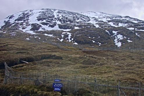
In Scotland, only Cairngorm is offering any proper skiing, but natural snow cover is patchy and skiing is only possible to the mid-station.
USA
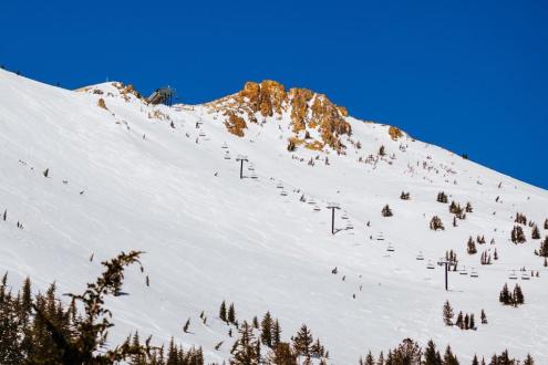
You guessed it, another storm cycle is on its way to California’s Mammoth early next week. Upper snow depths here are already nearly 7m deep and skiing is likely to continue well into the summer!
Good skiing is also widely available in Colorado though mid-mountain depths of 188cm are far closer to average in Vail!
Canada
Snow depths are a little below par in Whistler (240cm mid-mountain base) and further inland in Banff (135cm). The best conditions in both resorts are currently to be found at altitude and on-piste.
Some light snow flurries should freshen things up a little tonight in Whistler and more generally over the weekend in Banff.
Our next full snow report will be on
Thursday 30 March 2023
If you enjoy reading our updates - please feel free to support us:


