Latest snow report
Updated: 1.45pm Friday 8 December 2023
Snow conditions in the Alps are currently excellent for the time of year, though they are set to deteriorate in places next week, with the advent of much milder weather from the Atlantic which will be rainy in places. This rain will be most problematic between Sunday night and Wednesday in the north-western Alps where the rain/snow limit will reach 2400-2700m for a time. It will be less of an issue the further south and east you are.
In the meantime, snow depths are above average across many parts of the Alps, especially in the far west of Austria (e.g. Lech, St Anton), the eastern Swiss Alps (e.g. Klosters, Laax) and in the higher resorts of the northern French Alps (e.g. Val Thorens, Tignes). Snow depths in the southern Alps are generally more modest.
Across the pond, snow depths are generally below par, but conditions in many western US resorts are improving thanks to new snow this week…
Detailed forecast:
Austria
Snow conditions are excellent across Austria which, all things considered, remains the stand-out country for skiing in the Alps right now. The area that has seen the most snow in the last week is the Arlberg, where Lech now has an eye-catching 95/200cm of settled snow depending on altitude and 190km of open pistes, eclipsed only by the 205km of runs now operational in Ischgl (100cm upper base).
Lower down, there is also lots of good skiing in the likes of Saalbach, which has more than 50km pistes open and base depths of 60/100cm.
Temperatures are set to turn milder in Austria over the weekend and into next week, with a bit of rain falling lower down, especially in the far west.
France
Snow conditions in France are impressive for the time of year, especially in the northern French Alps where snow depths are considerably above average. Snow cover is more modest in the southern French Alps but, even here, it has been looking more wintry in recent days thanks to new snowfalls.
For now, the best options remain the higher resorts of the northern French Alps such as Tignes (72/240cm) and Val Thorens (100/130cm), both of which now have most of their terrain open.
In the far southern Alps, resorts like Isola 2000 (35/40cm) are more reliant on a mix of natural and man-made snow.
The weather will turn milder in the French Alps this weekend and especially next week, with quite a lot of rain in the forecast, especially between Sunday night and Wednesday, heaviest in the north (roughly north of Grenoble) with a rain/snow limit between 2400m and 2700m for a time.
Italy
Snow conditions in Italy are generally not bad for early December, even if it has the most modest snow cover of the four main Alpine countries overall.
Two areas are doing better than the rest right now, the first being the far north-western Italian Alps where, despite just 14 runs open today, La Thuile has impressive snow depths of 60/180cm. The second is the higher parts of the central Italian Alps, where Livigno is about 80% open on a solid base of 45/85cm.
Over in the Dolomites, snow depths are more modest, but 10/40cm in Alta Badia is more than enough to open most of the ski area, helped by the world-class snow-making that the region is famous for.
Apart from in the far north-west, including resorts like Courmayeur (40/110cm), the Italian Alps will escape the worst of the rain next week, with many places staying completely dry, if rather mild.
Switzerland
Snow conditions across Switzerland are mostly excellent for the time of year. The deepest snow (relative to altitude) is currently in the north-east, where resorts such as Klosters (60/140cm) and Laax (45/150cm) are skiing superbly right now. Further west, Verbier (50/133cm) and Crans Montana (100-180cm) are also in great shape.
Snowfall is still only below par in parts of the south, including in Zermatt (15/30cm), though it still has a good number of slopes open thanks to artificial help.
The weather in Switzerland will remain unsettled over the next few days, with an increasing threat of rain lower down, especially in the north and west between Sunday night and Wednesday.
Rest of Europe
A dozen or so ski resorts are open in the Pyrenees, helped by some new snow this week, although snow depths remain modest for now. Andorra’s Granvalira (15/30cm) has around 50km of pistes open on a mix of natural and man-made snow, while Spain’s Baqueira Beret (10/30cm) is offering 62km.
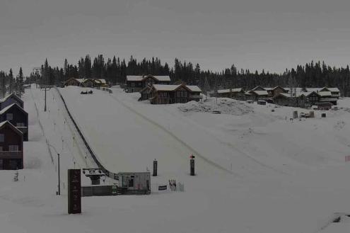
Around two dozen ski areas are now partially open in Scandinavia, with the greatest extent of skiing currently in Hafjell (50/60cm), near Lillehammer, which has over 20km of pistes operational.
Scottish ski resorts still do not have enough snow for any lift-served skiing.
US
It is snowing today across many Colorado resorts, which is good news for the likes of Breckenridge (upper base depth 70cm) which also saw significant snow fall last weekend.
Over in California, Mammoth (50cm upper base) also saw a few centimetres of snow last night though US resort snow depths are generally below where they should be for the time of year.
Canada
Lots of Canadian resorts are partially open though snow conditions remain modest for now, with upper base depths of 77cm in Whistler and 72cm in the Banff/Lake Louise area. Both resorts are expecting some light snowfalls over the next couple of days.
Our next full snow report will be on
Friday 15 December 2023
If you enjoy reading our updates - please feel free to support us:


