

Latest snow forecast
Updated: 6pm Wednesday 8 January 2020
The weather has been dry and fine this week in the Alps, dominated by high pressure. That said, weather fronts have never been far away from the northern Alps, producing a bit more in the way of cloud, and even the odd shower here and there.
These weather fronts will finally make a bit more progress south-eastwards on Friday, bringing a few centimetres of snow to some north-western parts of the Alps on Thursday night and Friday, though still nothing significant.
The weather will then turn fine everywhere again for the weekend.
Detailed forecast:
Austria
Thursday will be mostly dry in Austria, with plenty of sunshine and mild temperatures (freezing levels close to 3000m).
Friday will be colder with sunny spells, but also some areas of cloud and just the odd flurry possible here and there, mostly later in the day and across the northern Alps (snow 1000-1400m).
The sunshine will return on Saturday, though the weather will remain on the cool side.
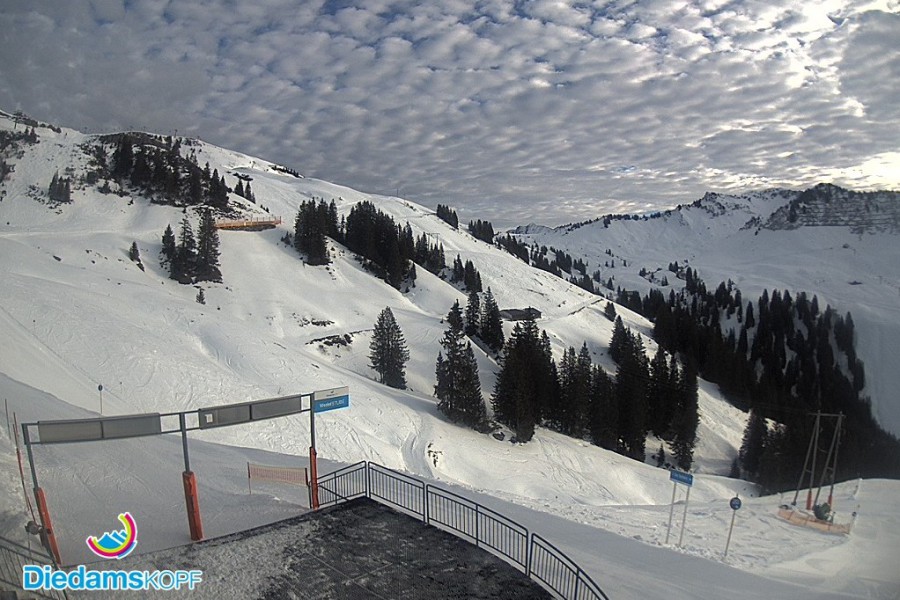 Interesting high cloud formations in the Austrian Vorarlberg. This is Diedamskopf – 8 January 2020 – Photo: diedamskopf.at
France
Thursday will be mostly dry with sunny spells in the French Alps. Cloud will increase later in the north though, with few centimetres of snow possible above 1500m then down to 1100m in parts of the Savoie regions (e.g. Portes du Soleil) overnight.
Friday may start cloudy in the northern Alps with the odd flight flurry (1100m), but it should brighten up as the day goes on. It will be mostly sunny further south, but feeling colder everywhere.
Saturday should be sunny across the Austrian Alps, with the weather turning milder again after a cold start.
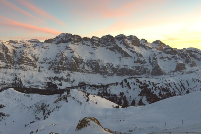 The end of a glorious day in the Portes du Soleil – 8 January 2020 – Photo: snoweye.com
Italy
Thursday will be mostly dry in the Italian Alps, with sunny spells and relatively mild temperatures.
Friday will be cloudier for a time in the north-west, especially close to the French/Swiss border where the odd flurry (1200m) is possible. Most other areas will be dry with sunny spells, but also feeling colder.
Saturday will see a return to sunshine in all regions, with temperatures beginning to rise once again.
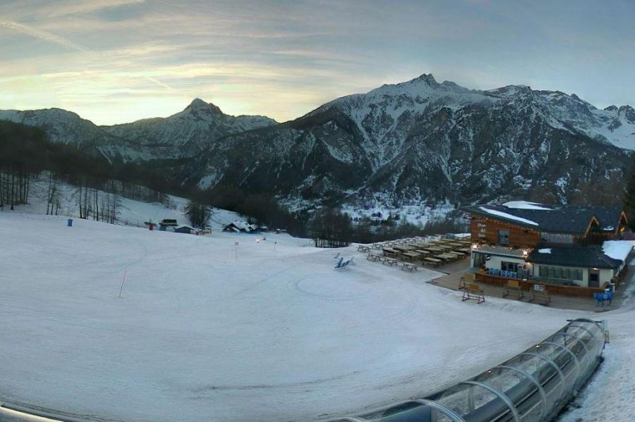 Fine end to the day in Bardonecchia – 8 January 2020 – Photo: bardonecchiaski.com
Switzerland
Thursday will be mostly dry in the Swiss Alps, with sunny spells but cloud increasing from the north-west as the day progresses, with a few centimetres of snow (1500m then 1200m) across the northern fringes of the Swiss Alps overnight (e.g. Bernese Oberland).
Friday will start cloudy in the northern Swiss Alps with a few flurries (1100m), but these will gradually die away. Elsewhere it will be mostly dry with the best of the sunshine in the south, but it will also be feeling colder.
Saturday will see a return to sunshine everywhere, with rising temperatures after a cold start.
Outlook:
Sunday and Monday look like being sunny, at least above any nuisance value low cloud or fog. Nights will be cold, but it will feel pleasantly mild by the afternoon, especially on south-facing slopes.
Our next detailed snow forecast will be on Friday 10 January 2020, but see Today in the Alps for daily updates