


Latest snow forecast
Updated: 6.40pm Friday 10 March 2023
The north-western Alps are currently being battered by a big storm, with blizzards at altitude and some rain lower down. The rain/snow limit has been proving extremely difficult to forecast all week and remains volatile, with considerable differences from place to place and from one day to the next.
It was about 2100m at its highest late on Thursday, but has ended up being much lower than originally feared, probably not exceeding 1800m anywhere now until the weather starts to improve later this weekend. Today it has typically been around 1300-1400m in the French Alps and is set fall to as low as 600m in some northern parts of the Alps tomorrow.
The heaviest precipitation from this latest storm has been and will continue to fall in the northern French Alps, especially close to the high border areas (e.g. Chamonix valley and Haute Tarentaise). These regions can expect over 1m or more of new snow above 2200m by the early hours of Sunday. Other parts of the north-western Alps, including the western Italian Alps (e.g. La Thuile), the rest of the northern French Alps (e.g. 3 Valleys, Grand Massif), the western Swiss Alps (e.g. Verbier, Zermatt) and the Arlberg (e.g. Lech) can expect between 40-80cm above 2200m.
Apart from in the Arlberg, any precipitation has been and will continue to be lighter and patchier the further south and east you are. Storm totals will only be in the order of a few centimetres in St Moritz and Kaprun, for example, and next to nothing in the Dolomites or Isola 2000.
Whatever the case, the wind will also play a big factor in the weather this weekend, especially at altitude, which will increase the risk of avalanche, especially where there has been lots of snow...
Detailed weather & snow forecast:
Austria
Friday night will see some showers across the northern and western Austrian Alps (e.g Lech, Kaprun) with a rain/snow limit descending to 700m. The southern Austrian Alps (e.g. Nassfeld) will see fewer, if any, showers.
Saturday will see further flurries across the northern Swiss Alps (500-800m), heaviest in the west (Arlberg), while it remains dry and bright further south.
Snowfall totals across the northern Austrian Alps on Friday and Saturday will generally be in the order of 5-20cm but could exceed 40cm in the far west (e.g. Lech, St Anton).
On Sunday, some mostly light showers will continue across the northern and western Austrian Alps, but it will be milder with a rain/snow limit moving back towards 1000-1300m.
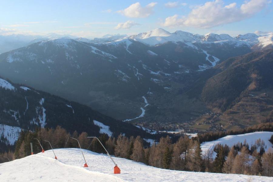 Southern Austria will see little or no new snow from the current storm cycle. This is Bad Kleinkirchheim – 10 March 2023 – Photo: foto-webcam.eu
France
Friday night will see further rain, snow and high winds across much of the French Alps, heaviest in the high border regions of the Savoie departments (e.g. Chamonix valley, La Rosière, Tignes). The far southern French Alps will be less affected, though it will be very windy at altitude everywhere. The rain/snow limit will be around 1000-1300m, perhaps lower later in the night in the far north.
Saturday will again be cloudy across much of the French Alps with further rain or snow, heaviest in the high border regions of the Savoie departments (e.g. Chamonix valley, Haute Tarentaise), lighter and patchier closer to the western foothills and in the southern French Alps. Indeed, the far south (e.g. Isola 2000) will again stay mostly dry with some sunny spells. There is still lots of uncertainty over the rain/snow limit, but it is likely to start quite low (900-1300m) before rising back towards 1500-1900m during the day, then falling again a little again by evening.
Storm totals on Friday and Saturday are likely to be over 1m above 2200m in the Haute Tarentaise and Chamonix valley, and more generally 50-70cm at altitude across the northern Alps, 20-50cm across northern parts of the southern Alps (e.g. Serre Chevalier) and little or nothing in the far south.
Sunday will be a better weather day with some early showers (snow 1500-1800m) clearing later to leave most places with some sunny spells. It will feel mild with freezing levels rising to 2500m or higher later in the day.
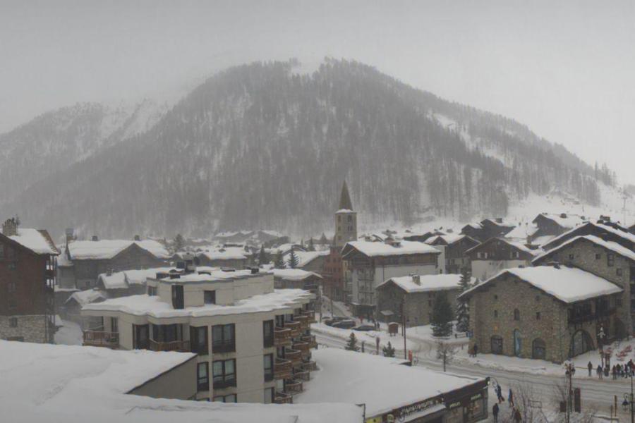 Heavy snow today in Val d’Isère – 10 March 2023 – Photo: valdisere.com
Italy
Friday night will see lots of rain and snow in the north-west, heaviest close to the French border (e.g. Courmayeur/La Thuile), with snow falling to around 900-1200m. The Milky Way (e.g. Sestriere) will also see some snow but further east the snow will be lighter, with many central and eastern parts of the Italian Alps, including the Dolomites, staying mostly dry.
On Saturday the same north-western areas will see further snow, although the rain/snow limit may rise to between 1400m and 1800m for a time. The central and eastern Italian Alps will again miss the worst of the weather.
Sunday will be a better weather day with most places staying dry and enjoying some sunny spells.
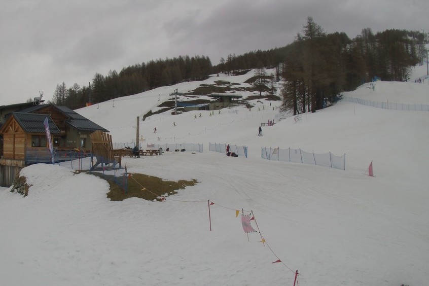 Cloudy with a little snow today in Bardonecchia – 10 March 2023 – Photo: bardonecchia.it
Switzerland
Friday night will see more rain and snow across much of Switzerland, heaviest in the west (e.g. Portes du Soleil, Verbier, Zermatt, Jungfrau region). Any precipitation will tend to be lighter the further south-east you are, with just bits and pieces in the far south east (e.g. St Moritz). The rain/snow limit will be between 600m and 800m.
Saturday will see a similar weather pattern with further precipitation for many, although the south-east (e.g. St Moritz) will escape the worse of it. There is still some uncertainty about the rain/snow limit, but it is likely to be under 1000m for much of the day in the more internal valleys (e.g. eastern Valais) but rise to around 1300m for a time in the west (e.g. Portes du Soleil).
Snowfall totals for Friday and Saturday are likely to be in the order of 40-70m above 2000m in the western Swiss Alps (e.g. Zermatt, Verbier, Glacier 3000), 30-50cm in the north/north-east (e.g. Engelberg, Klosters) but just a few centimetres in the far south/south-east (e.g. St Moritz).
Sunday may start cloudy with some showers in the northern and western Swiss Alps, with a snowline rising to 1400-1600m, but it should brighten up in the afternoon. The south-east should be dry all day with sunny spells.
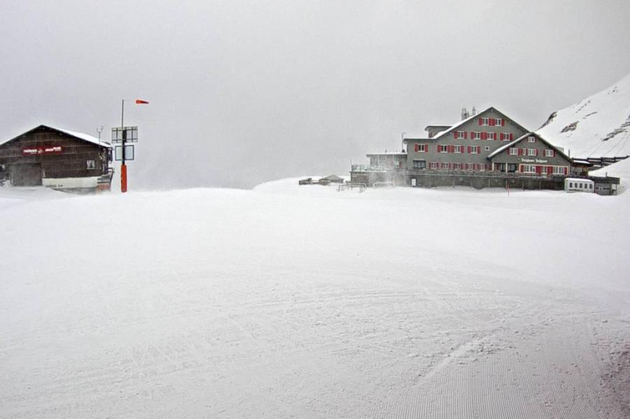 Significant snowfall in Engelberg from the current storm. This is Stand at 2500m – 10 March 2023 – Photo: engelberg.ch
Outlook:
The weather will remain very unsettled into next week, with the prospect of some further heavy snow to low altitudes across many northern and western parts of the Alps.
Our next detailed weather & snow forecast will be on
Friday 17 March 2023
If you enjoy reading our updates - please feel free to support us: