

Latest snow report
Updated: 4pm Thursday 6 January 2022
Snow conditions have improved across the Alps over the last couple of days thanks to a big drop in temperature and some new snow for most regions. That said, snow depths took a big hit during the exceptionally warm period between Christmas and New Year and are generally now either close to or below average across much of the Alps, where just two weeks ago they were exceptional across much of the north-western Alps.
Most areas have seen between 15-30cm of fresh snow from this latest storm, with the greatest quantities having fallen in the far south-eastern Alps, with as much as 60cm in parts of Carinthia (e.g Nassfeld). Some south-western parts of the Alps (e.g. Sestriere, Isola 2000) have seen little if any snow, however.
More snow is forecast for this weekend, mostly across the north-western half of the Alps. The weather will then try to settle down again next week, although weather fronts will never be far away from the eastern Alps, meaning that it may be more unsettled at times across parts of Austria.
Across the pond, Whistler is doing particularly well with lots of fresh snow at all levels…
Austria
Fresh snow and colder temperatures have improved snow conditions across all parts of the Austrian Alps, with the southern region of Carinthia seeing the biggest dumps. Nassfeld managed 50-60cm of fresh snow from the recent storm with settled snow depths now 60/130cm depending on altitude.
Snowfalls were more modest further north, with 10-20cm of new snow this week in the likes of Lech (80/145cm) and Saalbach (20/70cm), but still very welcome given the recent spring-like conditions.
 Great conditions in the southern Austrian Alps right now. This is Bad Kleinkirchheim – 6 January 2022 – Photo: badkleinkirkchheim.com
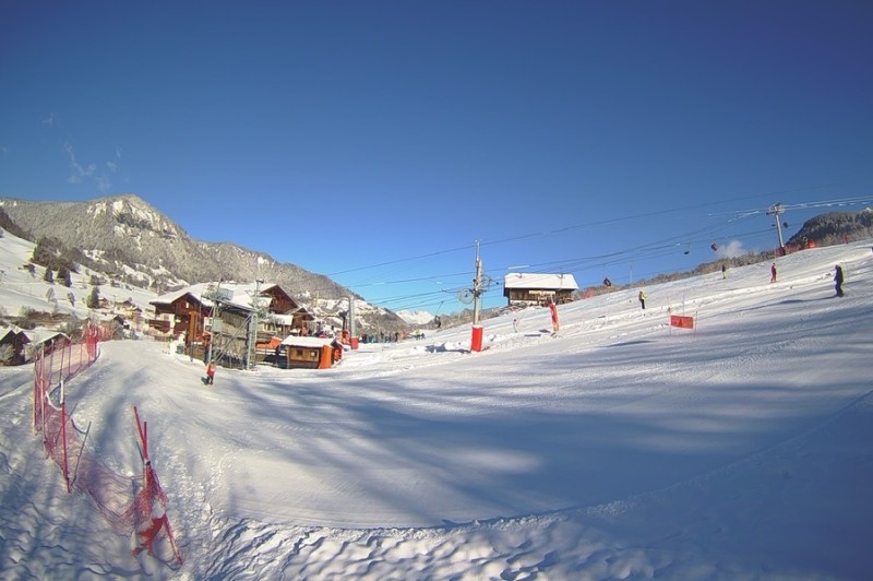
France
The northern French Alps have seen 10-20cm of new snow from the recent storm which, along with the colder temperatures, has greatly improved snow conditions, especially in lower-lying resorts such as La Clusaz (40/190cm) and Megève (50/110cm).
Further south, there was only a dusting in the likes of Serre Chevalier (30/105cm) and Risoul (40/60cm), but the drop in temperatures has at least firmed up the snow and allowed the cannons to operate at full capacity.
 Improved conditions at low altitude in the northern French Alps. This is Flumet near Megève – 6 January 2022 – Photo: snow-eye.com
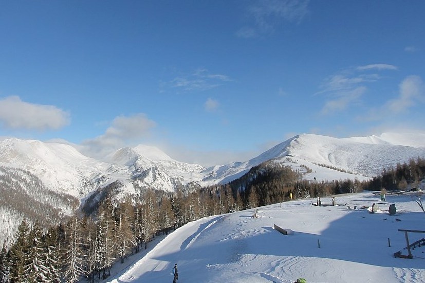
Italy
The Dolomites have done well from the recent storm with around 30cm of fresh snow for the Alta Badia (30/70cm), where snow conditions are excellent once again.
There has been less fresh snow further west, but colder weather has improved snow conditions in high altitude Cervinia (40/115cm) even if snow depths remain modest for the time of year.
More of a worry are the resorts further south-west, with just 20/40cm in Sauze d’Oulx – passable on-piste for now, but potentially a problem later in the season if there are no major storms soon.
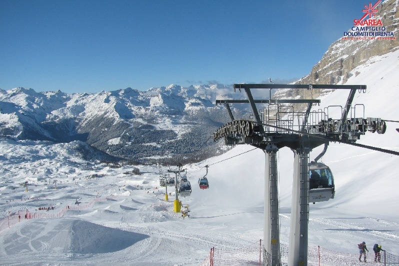 Fresh snow and sunshine in Madonna di Campiglio today – 6 January 2022 – Photo: funiviecampiglio.it
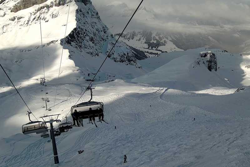
Switzerland
The Swiss Alps have seen between 10-30cm of new snow this week which, along with the colder temperatures, has helped to improve conditions, especially lower down.
On-piste snow conditions are excellent today in Verbier (50/150cm), though the off-piste remains very mixed. Further east, you can also find good snow in Arosa (50/80cm) though snow depths are relatively modest for the time of year.
 New snow in Engelberg – 6 January 2022 – Photo: titlis.ch
Rest of Europe
The weather has also turned colder across the Pyrenees in the last few days, with some fresh snow and more forecast this weekend. Thanks to a very snowy early December, snow cover has been holding up fine in most major resorts despite the exceptionally warm temperatures over the New Year, but this new snow will be welcome. Right now, settled snow depths are 140/205cm in Spain’s Baqueira Beret and 70/130cm in Andorra’s Grandvalira.
Across in Scandinavia there is good piste skiing on offer in Sweden’s Åre (40/80cm), with moderate snowfall forecast for this weekend. In Norway, the best of the fresh is in the western resort of Voss where the upper base is 100cm.
Snow depths in Scotland remain modest, with only the Lecht and Glenshee offering some limited skiing with the assistance of artificial snow. Heavy snow is forecast for the western resorts of Glencoe and Nevis range over the next few days though, which may allow some partial openings here once the weather settles down.
 Colder conditions with new snow in the Pyrenees. This is Peyragudes – 6 January 2022 – Photo: snow-eye.com
USA
Most Colorado resorts are in good shape, with significant new snow in Vail where the upper base depth is now around 140cm deep.
In Wyoming, Jackson Hole (150/220cm) is also doing well, with around 80cm of fresh snow at altitude in the last couple of days.
Canada
It’s been seriously cold in many western Canadian resorts this week, with temperatures as low as -35°C in the Banff/Lake Louise area where base depths are a very healthy 125/175cm. It will gradually warm up in the days ahead, allowing for more pleasant skiing conditions, with a dusting of fresh snow expected on Thursday night and Friday.
Closer to the coast, Whistler (250cm upper base) is in superb shape, with further heavy snow set to fall over the next couple of days.
Our next full snow report will be on
Thursday 13 January 2022
If you enjoy reading our updates - please feel free to support us: