

Latest snow report
Updated: 3.30pm Friday 26 November 2021
Snow conditions are set to improve dramatically over the next few days in the Alps, thanks to a major new storm cycle which is already underway.
Right now (with one or two exceptions), natural snow cover is very meagre below glacier level in the Alps, and while there have already been plenty of partial openings this season, in the vast majority of cases these have been heavily reliant on artificial snow – e.g. Val Thorens, Verbier, Schladming.
So far, only a small number of non-glacial Alpine resorts have seen enough snow to secure a good early base, most of these being close to the French-Italian border (e.g. Queyras, Prali, Sestriere) where up to 1m of new snow fell at altitude early last week. This will change over the coming days though, as a series of storms sweeps in from the north-west. It will also be cold, with snow falling to very low levels, right into the lowlands at times.
The impending storm cycle will most favour the north-western half of the Alps where more than 1m of fresh snow is expected quite widely at altitude by the middle of next week. The least favoured area this time around will be the far southern French Alps and the southern Piedmont (we will bring you more on this in our detailed snow forecast later today).
Whatever the case, the drop in temperature will allow snowmaking to operate at full capacity in all Alpine regions over the coming days.
Across the pond, more US resorts are opening even if natural snow cover remains modest in most areas...
Austria
So far this autumn, aside from on the glaciers, there hasn’t been a huge amount of natural snow falling across the Austrian resorts. One notable exception is Obergurgl (30/110cm), where skiing was possible (until the recent temporary lockdown) on good natural snow cover from the middle of November.
Elsewhere in the Austrian Alps, any non-glacial openings such as Ischgl (10-30cm) and Schladming (40cm upper slopes) have needed more artificial help.
The good news is that the weather in the Austrian Alps is changing, and heavy snow is expected in all resorts over the next few days. This means that decent early season snow conditions are now virtually secured in the high Austrian resorts such as Ischgl (10-30cm), Obergurgl (30/110cm), Sölden (5/120cm), Obertauern, Kühtai, Lech and St Anton.
Lower down (e.g. Saalbach, Söll, Zell-am-See) there is still a chance that milder spells will interfere with early season preparations, but the chances of a solid early season are increasing, especially as snowmaking will also be operating at full capacity thanks to low temperatures.
 Light snow today in Mellau in the Austrian Vorarlberg, with more to come this weekend – 26 November 2021 – Photo: mellau.at
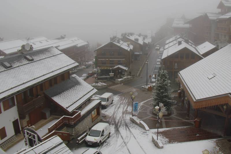
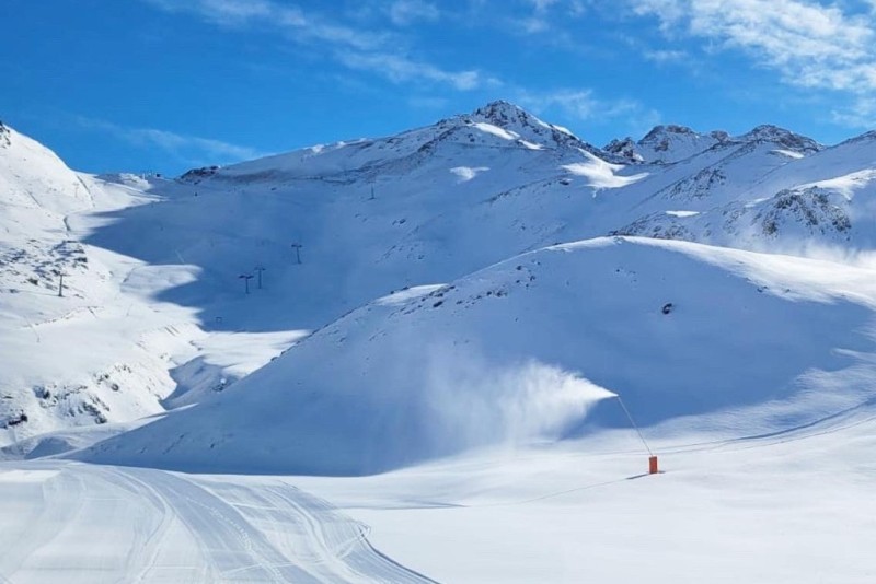
France
Until now, and glaciers aside, snow cover this Autumn has been very meagre across most of the French Alps. The only exceptions have been in resorts close to the Italian border roughly south of Val d’Isère, including the Pisaillas sector of Val d’Isère, Bonneval sur Arc, the Queyras and, to some extent, Montgenèvre. These areas have already seen enough natural snow to guarantee an early season base.
The weather is on the change though, with more snow expected over the coming days across much of the French Alps. Some light snow has already fallen across many parts of the French Alps, either yesterday or today (or both), with much heavier snow expected in most parts over the weekend. The one exception will be the far south (e.g Isola 2000, Auron) who have seen some light to moderate falls this week but will miss the heavier snow forecast for this weekend further north.
The weekend forecast is therefore good news for the increasing number of resorts that are opening or are due to soon open. The biggest name resort to kick off its season this weekend is Val d’Isère, with plenty of snow already on its Pisaillas glacier. Elsewhere within the ski area snow cover is currently very thin and patchy (3-30cm depending on altitude), so don’t count on a huge amount being open tomorrow, however, conditions are set to be transformed by heavy snow over the next few days.
Les 2 Alpes (50cm on glacier) is another resort that opens tomorrow, also without much snow below glacier level, but whose ski area will also be transformed by heavy snow over the next few days.
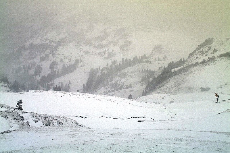
 Dusting of snow in Méribel this morning, with lots more in the forecast over the next few days – 26 November 2021 – Photo: merinet.com
Italy
Natural snow cover in the Italian Alps has been variable to date. In parts of the Piedmont, lots of snow has allowed an excellent early base to be laid in the likes of Prali, which opened last weekend, and Sestriere (45-130cm), which scheduled to open tomorrow.
Elsewhere in the Italian Alps, high altitude Cervinia (15/125cm) also has reasonable natural snow cover and has been offering a mix of glacial and non-glacial runs for some time now. Several Dolomite resorts are also opening this weekend further east, on a mix of natural and artificial snow.
Indeed, with the forecast cold temperatures, the entire Super-Dolomiti ski area should be able to operate their world-class snow making at full capacity meaning that on-piste early-season snow cover is now guaranteed.
As for the weather forecast, some snow is expected across the Italian Alps in the coming days though generally not quite as much as further north in the Alps.
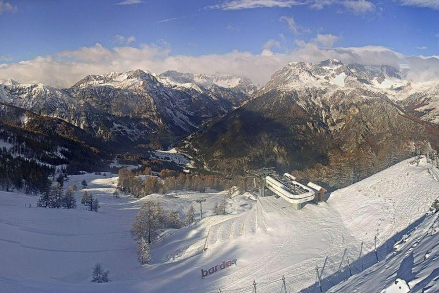 Sun and snow in Bardonecchia today, though they will miss the heaviest of the falls this weekend – 26 November 2021 – Photo: bardonecchia.it
Switzerland
Glaciers aside, snow cover in the Swiss Alps has been rather meagre to date, with many of the resorts that have opened (albeit partially) – such as Verbier (40cm upper base) and Arosa (30cm upper base) – having done so heavily reliant on artificial snow.
Until now, Zermatt (150cmm upper base) and Saas-Fee (160cm upper base) have been better bets, offering a greater extent and variety of skiing, as well as more natural snow, at altitude at least.
The good news is that all Swiss resorts will see significant snowfall over the next few days and, with snow cannons also able to run at full capacity, the overall picture looks increasingly promising as we edge towards the main part of the season.
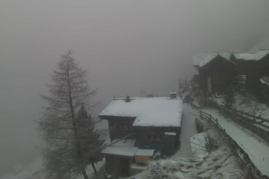 Winter has returned to Zermatt – 26 November 2021 – Photo: zermatt.ch
Rest of Europe
The Pyrenees have seen significant snowfall over the last few days, initially in the eastern Pyrenees (e.g. La Molina, Font Romeu) but with the heaviest snowfall transferring further west.
Early season snow conditions in the Pyrenees are therefore now looking very promising indeed, with this weekend’s opening set to include several major resorts including Spain’s Baqueira Beret and France’s Cauterets.
 Picture perfect for BoíTaüll, the highest resort in the Pyrenees – 26 November 2021 – Photo: boitaull.cat
USA
At least a dozen resorts are now partially open in the western US, with more to follow this weekend. Snow conditions are generally quite modest with many areas reliant on or needing considerable help from artificial snow, including Vail (45cm upper base) and Jackson Hole (70cm upper base).
Canada
Whistler is now open and has impressive early snow depths (108cm) on its upper mountain, with more snow in the forecast (again mostly on the upper mountain). Lower down, snow cover is patchier though.
Further inland, the Banff/Lake Louise (45/105cm) area currently offers the better overall snow conditions, also with fresh snow though it is expected to turn milder with the chance of rain at valley level this weekend.
Our next full snow report will be on
Thursday 2 December 2021
If you enjoy reading our updates - please feel free to support us: