

Latest snow forecast
Updated: 5.30pm Saturday 21 January 2023
Sandwiched between high pressure to the north and low pressure over Italy, the Alps are currently in the grip of a very cold north-easterly airflow that will continue to influence the weather for some days to come.
Much of the Alps will stay dry over the coming days but there will a little snow in places, with a more significant fall of snow possible on Monday in the southern Piedmont and adjacent border regions of France (e.g. Milky Way, Queyras).
Whatever the case, temperatures will remain very cold, allowing resorts to operate snow cannons at full tilt where they so choose. There may be quite a lot of nuisance-valley stratus cloud trapped in the lower valleys of the Alps, mostly close to the foothills and in the north, giving the illusion that the weather is bad despite it being perfectly sunny at altitude...
Detailed weather & snow forecast:
Austria
Sunday will be cold and mostly cloudy in the Austrian Alps, with a few light snow flurries here and there, though not amounting to much. Some brighter spells are also possible, especially in the Osttirol.
Monday will be mostly dry but cold with some sunny spells in the west (e.g. Arlberg). The further east and south you are the more cloud there will be, with some flurries here and there, most persistent in the far south-east (Carinthia and southern Styria) where a few centimetres are possible.
Tuesday will be mostly dry but still rather cloudy with just a few flurries remaining in the far south. The best of any sunshine will be in the far west (Vorarlberg).
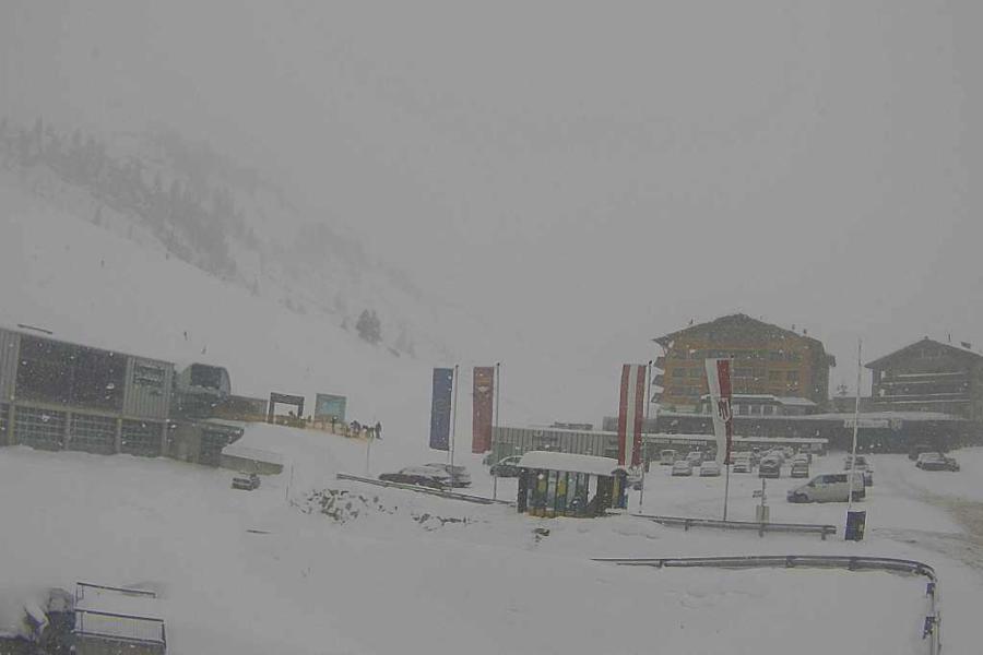 Snow today in Warth-am-Arlberg, where it will stay cold and mostly dry over the next few days – 21 January 2023 – Photo: warth-schroecken.at
France
Sunday will be mostly sunny in the French Alps with nuisance-value stratus cloud in some of the lower valleys, especially close to the foothills. It will be cold though, with afternoon temperatures no higher than about -8°C in most resorts.
Monday will see more in the way of cloud, especially in the southern French Alps and close to the Italian border regions where some snow is likely to very low levels from about Val d’Isère southwards, especially later in the day. The heaviest snow will fall in the Queyras and Mercantour (e.g. Isola 2000) where 30cm is possible by Tuesday morning. Other resorts that could see a few centimetres of snow include Val d’Isère, Val Cenis and Serre Chevalier. Most of the French Alps will see little if any snow though, especially in the north (e.g. Portes du Soleil).
On Tuesday, some flurries will continue close to the Italian border (from Val d’Isère southwards) otherwise most regions will be dry and bright with some sunny spells.
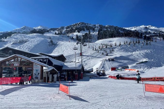 Blue skies today in Méribel, with generally dry but cold weather expected over the next few days – 21 January 2023 – Photo: @MeribelMole
Italy
Sunday will be mostly dry in the Italian Alps, with plenty of sunshine for most, although the eastern Alps (Dolomites) may have more in the way of cloud and the odd light flurry.
Monday will see more persistent and heavier snow (to very low levels) developing in the southern Piedmont (e.g. Sestriere, Prato Nevoso, Limone). Further east, the Dolomites may also see a bit of snow at times but, in between (e.g. Livigno), it should be mostly dry and bright.
Tuesday may see further flurries in both the far south-west (Milky Way) and the far east (Dolomites) otherwise most regions will stay dry, but still cold, with some sunny spells.
Switzerland
Sunday will see plenty of sunshine in the Swiss Alps though there will be more in the way of cloud in the far north, with a few flurries possible to very low levels close to the northern foothills (e.g. Flumserberg).
Monday will see plenty of sunshine in the western Swiss Alps (e.g. Portes du Soleil, Verbier), however, there may be more in the way of cloud in the north-east, especially close to the foothills where the odd light flurry is possible. The border areas of the Upper Valais (e.g. Zermatt and Saas-Fee) may also see some snow later in the day.
Tuesday will be mostly dry with plenty of sunshine, at altitude at least, but temperatures will remain cold.
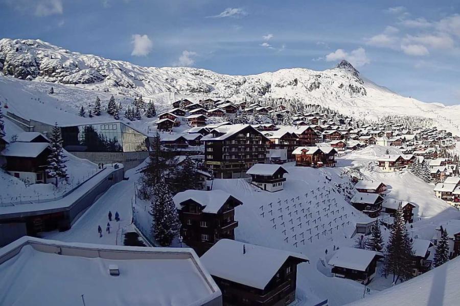 Bright but bitterly cold in the Aletsch Arena today. This is Bettmeralp – 21 January 2023 – Photo: bettmeralp.ch
Outlook:
The rest of next week will remain cold everywhere. Most regions will be dry with variable cloud on Wednesday but snow is likely to return to the northern Alps late on Thursday, especially in the north-eastern Alps (Austria).
Our next detailed weather & snow forecast will be on
Friday 27 January 2023
If you enjoy reading our updates - please feel free to support us: