


Latest snow report
Updated: 6.45pm Friday 3 January 2025
Snow conditions are much improved across the northern Alps thanks to a storm that quite widely delivered 10-30cm, and up to 40cm+ of snow in some favoured spots such as Flaine and Engelberg. This fresh snow followed a lengthy spell of mostly sunny weather that spanned the whole of Christmas and the New Year.
Given that there was already a reasonable amount of snow across the northern Alps, this fine weather was welcomed by most during the festive period.
However, the volume of skier traffic did start to make the pistes a bit icy in places, so this latest storm has provided those New Year skiers heading home tomorrow with an excellent final day on the slopes today.
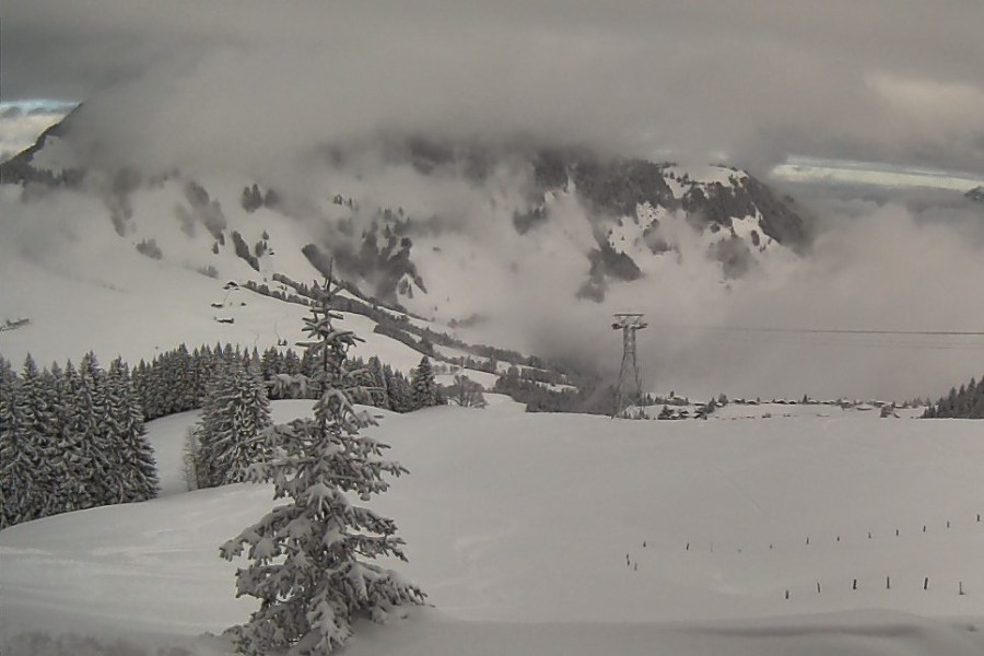
Most southern Alpine resorts (e.g. Dolomites) missed out again though. Here, and elsewhere across the southern Alps, there is still plenty of decent piste-skiing on offer thanks to excellent artificial back-up, but conditions are generally hard-packed or a bit icy in places.
Over the next week or so the weather in the Alps will remain extremely changeable, with further chances of snow for most of the Alps, including the south. However, temperatures will fluctuate wildly with the risk of some rain for some, both this weekend and early next week.
Across the pond, the Pacific Northwest continues to lead the way…
Austria
The far west of Austria saw the most snow from Thursday night’s storm, with around 15-20cm in Lech (90/100cm) where there is some excellent skiing right now.
Further east, the lower resorts in the Ski Welt (25/107cm) also have good cover and plenty of enjoyable skiing on offer.
Temperatures will turn temporarily milder over the weekend and into the first part of next week, however any rain will be less significant than further west.
 Fresh snow and great skiing conditions in Lech today – 3 January 2025 – Photo: lechzuers.com
France
The northern French Alps are in great condition thanks to last night’s snowfall. This includes both the high resorts like Val d’Isère (70/135cm) and lower ones like Les Gets (50/110cm), although the coming days won’t be plain sailing, with rain expected to as high as 2200m in places on Saturday night.
The southern French Alps have less snow than in the north right now, with just 40/65cm depending on altitude in Risoul, for example. However, they should finally see some more substantial snowfalls later this weekend and early next week, albeit also with some rain for a time lower down.
 Fresh snow and bright skies today in Méribel – 3 January 2025 – Photo: merinet.com
Italy
By and large, Italian ski resorts again missed most of the snow from Thursday night’s storm. Exceptions include resorts close to the north-western border, including La Thuile (25/150cm), which has lots of snow at altitude.
More generally, though, snow depths remain very modest in Italy, with many ski resorts still at least partially reliant on their excellent snow-making facilities.
However, there is still lots of perfectly good piste-skiing on offer, with resorts like Selva in the Dolomites being 100% open despite only having 50cm up-top.
 Modest snow cover but reasonable piste-skiing in Bardonecchia – 3 January 2025 – Photo: bardonecchia.it
Switzerland
The western and northern Swiss Alps are in excellent shape again following significant snowfall on Thursday night. This includes Mürren (75/185cm) and Engelberg (48/158cm), both of which received nearly 40cm of new snow at altitude.
Resorts further south and east, such as Zermatt (50/150cm) and Arosa (80/90cm), didn’t see as much fresh snow but can still offer lots of good skiing, especially on-piste.
The weather forecast for the Swiss Alps over the next few days is changeable with some further snow at altitude for many, but also some rain for a time lower down, especially in the north and west.
 Evidence of Thursday night’s significant snowfall in Engelberg – Photo: engelberg.ch, 3 January 2025
Rest of Europe
Snow conditions in the Pyrenees are a bit mixed right now. While there is generally plenty of snow, at least in the major resorts, milder weather and some rain showers today are making for wet snow conditions in places. Spain’s Baqueira Beret currently has settled snow depths of 40/70cm, while France’s Cauterets has a more impressive 100/140cm.
Snow depths in Scandinavia remain modest but there is still plenty of good piste-skiing on offer. Among the better bets are Sweden’s Åre (45/75cm) and Norway’s Geilo (30/80cm), both of which can expect fresh snow and cold temperatures early next week.
Scottish ski areas have a sprinkling of snow but still not enough to properly open. This may change over the weekend as a storm moves in from the south, but there remains uncertainty as to how far north it will get.
 Some snow in Glencoe, but not enough for skiing right now – 3 January 2025 – Photo: winterhighland.info
USA
The Pacific northwest leads the way in the US, as it has done all season, with an impressive 290cm upper base now in Mount Baker.
Most Colorado resorts saw plenty of snow in late December which has significantly improved conditions in the likes of Breckenridge (120cm upper base).
Utah also had some much-needed festive snowfall, which has improved prospects in Snowbird (130cm mid-mountain base), though snow depths remain a bit below where they should for this area for the time of year.
Canada
Whistler (178cm mid-mountain base) continues to offer plenty of good skiing, having seen another 36cm at altitude in the last week, with a bit more to come over the next 24 hours.
Further inland, Fernie (220cm upper base) also has plenty of snow, with 65cm having fallen in the last week and a further sprinkling forecast overnight tonight and tomorrow.
 Good skiing on offer in the Lake Louise area – 3 January 2025 – Photo: skilouise.com
Our next full snow report will be on
Friday 10 January 2025
