


Latest snow forecast
Updated: 4.15pm Saturday 21 December 2024
The Alps are under a narrow ridge of high pressure today, which is bringing a patch of better weather between two storms. The second of these storms will hit the north-western Alps this evening and will be more potent than the last, delivering very significant quantities of snow across many northern and especially north-western parts of the Alps between now and Tuesday.
Areas that will see significant snowfalls include the northern French Alps north of Grenoble (e.g. Tignes, Courchevel, Les Arcs, Flaine, Avoriaz, Chamonix), much of Switzerland excluding the far south (e.g. Verbier, Wengen-Mürren, Engelberg, Laax, Klosters), and the far west of Austria (e.g. Lech, St Anton). These areas will likely see another 60-80cm of new snow quite widely above 1800m between now and Tuesday, with well over 1m in some favoured spots such as the Austrian Arlberg. Bear in mind this is in addition to the 10-40cm that has already fallen across many northern parts of the Alps over the last couple of days.
The rain/snow limit will start quite low but will rise to 1800m in some exposed western parts of the Alps for a time on Sunday morning, remaining lower further east and in some internal valleys, before falling to very low levels again late on Sunday. It will remain low on Monday and Tuesday.
In terms of the intensity of precipitation, the storm will peak on Sunday evening in the northern French and western Swiss Alps, and on Monday evening in the northern and north-eastern Swiss and Austrian Alps. There will also be a lot of wind, meaning that any snowfall will be unevenly distributed, especially at altitude where the risk of avalanche will increase markedly.
Throughout this period, except for the far north-west of Italy (e.g. La Thuile, Courmayeur, Cervinia) where 50cm+ is likely, the southern Alps will less snow, with only a few centimetres at best in the Dolomites, for example...
Detailed forecast:
Austria
Saturday night will see snow move into the western Austrian Alps, reaching most areas north of the main Alpine Ridge (i.e. not Osttirol or Carinthia) later in the day. The rain/snow limit will be low but may rise to 1200m in the far west later.
Sunday will see almost continuous precipitation north of the main Alpine ridge, with sunny spells further south. The rain/snow limit will be between 1000-1400m for a time in the west but lower further east and in many enclosed valleys, lowering more generally to 500-700m late in the day.
Monday will see further snow in the northern half of the Austrian Alps. This will often be heavy, especially later in the day and overnight, and the rain/snow limit will be very low, between 300m and 500m.
Tuesday will see further snow flurries to low levels across the northern Austrian Alps, but it will remain drier and brighter in the far south.
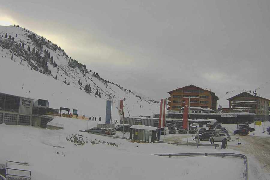 Cloud thickening again over Warth-am-Arlberg where huge amounts of snow are forecast over the coming days – Photo: warth-schroecken.at, 21 December 2024
France
Saturday night will see rain/snow spread quickly to most of the French Alps (except for the far south) with the rain/snow limit starting very low before rising to 1500-1700m in many regions by night’s end. It will remain lower in some enclosed valleys.
Sunday will be stormy, with heavy rain/snow likely all day in the northern two-thirds of the Alps. This will be a bit lighter south of Grenoble and very patchy in the far south (e.g. Isola 2000). The rain/snow limit may start at around 1400-1800m but will fall steadily to well below 1000m by evening, then to all levels overnight.
Monday will be cold and windy with frequent snow flurries (300-500m) in the northern French Alps but drier and brighter conditions south of Grenoble, especially in the far south where it will be entirely sunny.
Tuesday is expected to be sunny, but cold, everywhere.
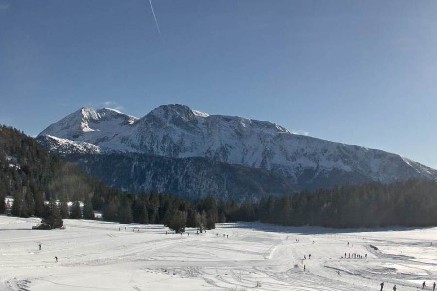 Sunny today in Chamrousse, near Grenoble, but snow will return tonight – Photo: chamrousse.com, 21 December 2024
Italy
Saturday night will see rain/snow move into the north-western Italian Alps (e.g. Courmayeur) with a rain/snow limit starting low but possibly rising to over 1000m later in places. Other parts of the Italian Alps, both further south (e.g. Milky Way) and further east (e.g. Lombardy), will also see some snow but not until later in the night.
On Sunday, many Italian resorts will see showers or longer spells of rain/snow, but these will be patchier in the east with parts of the Dolomites staying dry. The rain/snow limit may be between 1000-1400m for a time in the west but will be lower in some enclosed valleys and will descend more generally as the day goes on.
Monday will be cold and windy with further flurries to low levels close to some of the border areas, however, there will also be some sunny spells, especially in the far south-west (e.g. Limone) and in the Dolomites.
By Tuesday it should be mostly sunny but cold everywhere.
 Limone, in the far south-western Alps, is one resort that won’t see much snow from this next storm – Photo: snoweye.com, 21 December 2024
Switzerland
Saturday evening will see rain and snow moving in from the west reaching most of the Swiss Alps (except parts of the far south) overnight. The rain/snow limit will start low but rise to 1700m in some exposed western parts of the Swiss Alps later but will remain lower in many enclosed valleys.
Sunday will see continuous rain/snow across most of the Swiss Alps, although any precipitation will again be patchy in the far south, notably in Ticino. The rain/snow limit will be between 1500m and 1700m in the morning (but lower in some enclosed valleys) before falling everywhere to around 800 by evening, lower still overnight.
Monday will see further snow showers to very low levels, heaviest across the north where they will be almost continuous, leading to more significant accumulations. The further south you are, the more sporadic any snow will become, with sunny spells again in the far south.
Tuesday will be sunnier, although there may be a few early flurries in the north-eastern Swiss Alps before the sunnier weather reaches all regions. It will remain cold though.
 Cloud increasing over Torgon in the Portes du Soleil ahead of the next storm tonight – Photo: torgon.ch, 21 December 2024
Outlook:
On Wednesday and Thursday, high pressure will take control of the weather in the Alps, meaning there should be plenty of sunshine and increasing temperatures.
Our next detailed weather & snow forecast will be on
Friday 27 December 2024
