High pressure has dominated the weather in the Alps since the big storm moved away on .
This has brought lots of fine and sunny (but still relatively cool) weather across the Alps in the last 48 hours, with fabulous snow conditions in the resorts already open.
Over the next few days, the weather in the Alps will become a little bit less settled, though with only a scattering of showers or flurries here and there. This theme will continue for much of next week, as further weak weather fronts attempt to cross the Alps.
At this stage, these fronts are only likely to deliver a few centimetres of snow here and there in the Alps, with many areas staying dry.
Weather models suggest that some more powerful weather fronts may hit the Alps later next week. However, these models keep changing, so we will be carefully monitoring how things develop – stay tuned to Today in the Alps for updates…
Austria
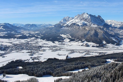
will see plenty of cloud across the northern Austrian Alps with a few flurries in places (1200–1400m), though these will not amount to any significant accumulations. The southern Austrian Alps will be dry with some sunny spells.
will again see variable cloud cover, with most areas staying dry, although a few light showers or flurries (1000m) are possible later in the day in the west.
There is still lots of uncertainty as to how the forecast will pan out on . There may be a few light flurries in places early in the day in the north, however most places will again remain dry with variable cloud cover.
France
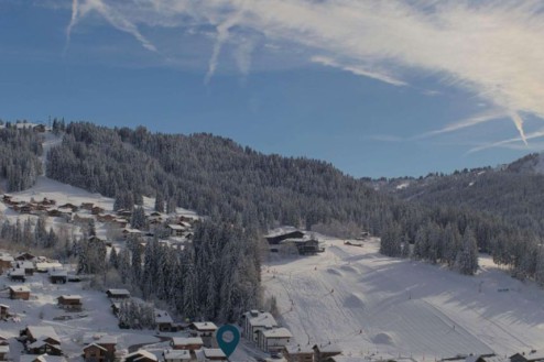
On , any early cloud in the French Alps should dissipate to leave a mostly fine day with relatively mild temperatures.
will be cloudier in the French Alps, with a few light showers or flurries here and there and a rain/snow limit around 1400m but falling later. At best, only a few centimetres of fresh snow are expected here and there, mostly close to the northern and western foothills.
On it will be mostly sunny across the French Alps.
Italy
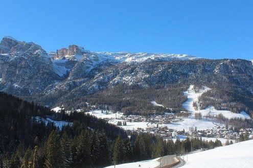
will be mostly dry in the Italian Alps, with plenty of sunshine and just a few clouds near the border areas.
will again be mostly dry but with a bit more cloud, especially close to the north-western border areas where a few light showers or flurries (1200m) are possible.
By , it is expected to be sunny again everywhere in the Italian Alps.
Switzerland
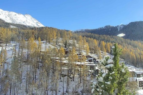
will see a few early showers or flurries (1200–1600m) across the northern fringes of the Swiss Alps, but these will tend to die out as the day goes on. For most areas, it will be a dry day with the best of any sunshine further south.
will see a few light showers or flurries move across the western and northern Swiss Alps, with a rain/snow limit starting at around 1400m but descending to 1000m or lower later. Only a few centimetres of fresh snow (at the very best) are expected here and there, with many southern (and especially south-eastern) parts of the Swiss Alps staying dry.
should see any early light flurries in the far eastern Swiss Alps die away to leave most areas with a dry day, and plenty of sunshine.
Outlook:
The weather in the Alps will be mostly fine on though weak weather fronts will approach from the south-west later in the day, with a few light showers or flurries likely in the southern French Alps, and possibly some western Italian resorts on Tuesday night. Any accumulations will again be very modest though.
The weather in the Alps will remain changeable later in the week, with fronts pushing in from the west or south-west at times, but how potent these will be remains to be seen.
Our next detailed weather & snow forecast will be
on Saturday 6 December 2025
If you enjoy reading our updates - please feel free to support us:


