


The weather in the Alps is turning increasingly unsettled, with weather fronts moving in from the west but weakening as they cross the Alps thanks to a huge blocking area of high pressure over north-eastern Europe.
This area of high pressure will also force most of the energy further south, spawning secondary disturbances over the Mediterranean. In short, most of the snow this weekend will therefore fall in the southern and western Alps, generally in modest quantities, but with some more significant falls here and there.
Next week the forecast for the Alps becomes even more interesting, with the prospect of some heavier and more widespread snow across the Alps, again heaviest in both the west and especially the south…
Austria
will be mostly dry in the Austrian Alps, with variable cloud cover.
will start quite bright in places, especially in the north and west. However, cloud will thicken in many areas, especially in the southern Austrian Alps, with a few flurries possible later in the day albeit not amounting to much.
will be more generally cloudy with outbreaks of snow, heaviest in the south (e.g. Carinthia) where 10–20cm is possible. Further north, snow will be lighter and patchier, with some places staying dry. The rain/snow limit will be around 700–1000m.
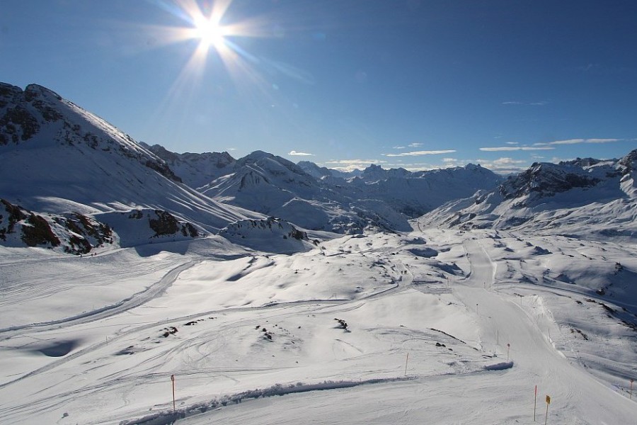 Bright skies this morning over Lech in the Austrian Arlberg – 23 January 2026 – Photo: lechzuers.com
France
will see a band of snow (600–800m) cross the French Alps, the heaviest falls forecast in the south where 10–15cm is possible, with lighter falls in the north where some internal valleys will see no more than a dusting.
may start dry and bright, but cloud will again thicken up later in the day with some further snow (600–900m) in places on Saturday night. This snow will again be heaviest in the southern French Alps, with 10–15cm possible in the far south (e.g. Isola 2000) but generally no more than 1–5cm in the northern Alps.
will be mostly cloudy with the odd flurry, but not amounting to anything.
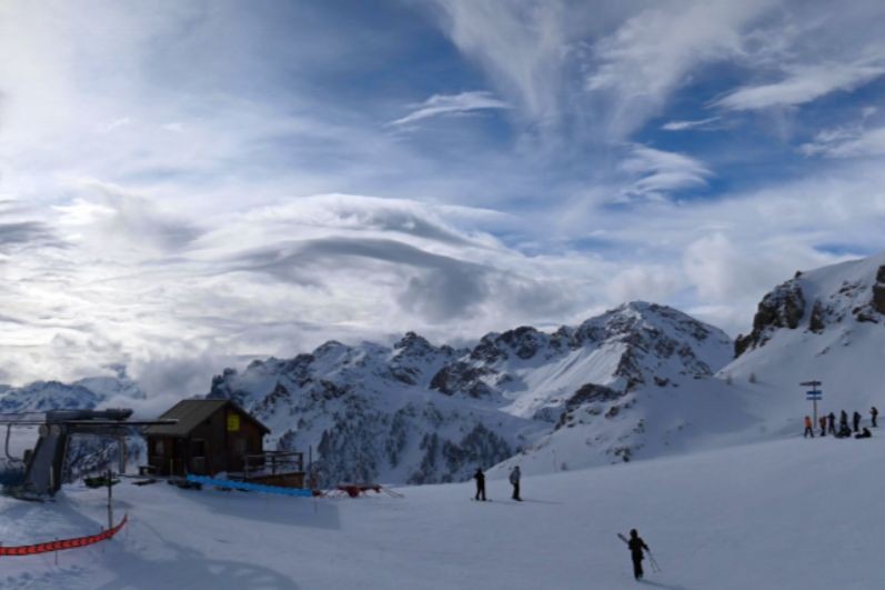 Variable cloud cover today in Serre Chevalier, where snow is forecast tonight – 23 January 2026 – Photo: serre-chevalier.com
Italy
will see some light snow move into many western and central Italian Alpine areas, generally not amounting to much but with 10–15cm possible in the far south-west (e.g. Prato Nevoso) and perhaps a few centimetres in parts of Lombardia (e.g. Passo Tonale) later.
should see a drier and brighter interlude across the western Italian Alps while flurries continue further east, including in the Dolomites, before they become more widespread right across the Italian Alps on Saturday night.
snow showers are likely to continue across the eastern Italian Alps and the Dolomites where an additional 10–30cm of snow is possible but there is still lots of uncertainty about the intensity at this stage.
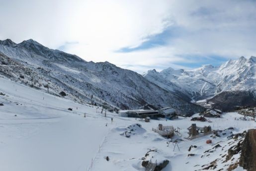
 Sunny this morning in Madonna di Campiglio but snow is forecast here over the weekend – Photo: funivicampiglio.it, 23 January 2026
Switzerland
will see some patchy snow cross Switzerland, mostly light but heavier for a time in Ticino (where there are only a few ski resorts). The rain/snow limit will start at around 800–1000m but descend to 600m later. Most areas can expect no more than a dusting or up to 5cm of snow, though there may be falls of 10cm in parts of Ticino.
will again start dry and bright in many regions, but cloud will thicken up in the south and west later in the day, with snow (to relatively low levels) reaching the Italian–Swiss border areas, especially around the Simplon, later in the day. This snow will spread a little further north on Saturday night but become very light and patchy. Snowfall totals on Saturday night are likely to be 10–15cm in the Simplon region (east of Zermatt and Saas-Fee) but generally just a few centimetres here and there across the rest of the Swiss Alps, and little if anything in the north-eastern Swiss Alps.
is likely to be mostly cloudy in Switzerland, with showers or flurries in places (600–900m) although any accumulations will be modest.
 Hazy sunshine on Friday morning in the southern Swiss Alps. This is Saas-Grund – 23 January 2026 – Photo: saas-fee.ch
Outlook:
The weather in the Alps is looking very unsettled next week, with further snowfall forecast for many regions, heaviest in the southern Alps where some very significant snow totals are possible.

Our next detailed weather & snow forecast will be
on Friday 23 January 2026
If you enjoy reading our updates - please feel free to support us: