



Weather & Snow Forecast: 20 November 2026
Updated:

The weather in the Alps has been extremely unsettled thanks to an active westerly airflow that has brought successive storms into the Alps from the Atlantic.
At high altitude in the western Alps (e.g. Tignes, Val Thorens, Chamonix) we have already seen well over 1m of fresh snow . While at lower altitudes there has also been plenty of rain – falling as high as 2700m on – though this rain/snow limit has gradually been coming down, with snow falling to around 1400m or so in the northern French Alps.
Throughout this period, the eastern and southern Alps have seen much more modest snowfalls, though, albeit with some significant accumulations at altitude here and there (e.g. the Austrian Arlberg).
A relative lull in the weather will arrive from the west on – good timing for the opening of the mega resorts of Val Thorens and Tignes – before a new storm moves in from the south-west on , influencing many Alpine regions for much of .
This storm has the potential to drop another 30-60cm in some parts of the western Alps, such as around the Écrins region of France, adding to the already very considerable high-altitude snowpack here.
Austria
The rest of will be mostly cloudy in the Austrian Alps north of the main Alpine ridge, with occasional flurries (1200-1400m) especially in the west (e.g. Lech, St Anton). The southern Austrian Alps (Carinthia) will be drier and brighter, as will some eastern areas (e.g. Obertauern).
will see further light flurries (1000m) for a time in the northern Austrian Alps though these will die away later. Further south it will again be mostly dry with some sunny spells.
may start dry, however, rain and snow (1000-1300m) will spread into the southern Austrian Alps (e.g. Nassfeld) during the middle of the day, then further north later in the day, but not reaching the northern foothills until nightfall. By we can expect 10-30cm of fresh snow above 1500m across much of Austria.
will be colder with snow flurries (500-800m) in the west (e.g. Lech) and along the northern edge of the Alps (e.g. Kaprun) but mostly dry elsewhere, with the best of the sunshine in the south.
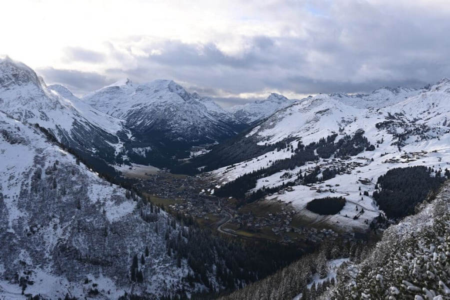 Plenty of snow at altitude in Lech – Photo: lechzuers.com, 20 November 2026
France
The rest of will be mostly cloudy in the French Alps, with further showers or flurries, prolonged at times, especially in the north (e.g. Tignes, Chamonix). The far south (e.g. Isola 2000) will be drier and brighter. The rain/snow limit will be between 1200m and 1400m, with another 20-40cm of snow likely above 2000m between and .
will see a temporary improvement in the weather with sunny spells in most places and freezing levels between 2000m and 2400m north to south. However, a new weather front will reach the French Alps on , bringing further snow to all areas which will extend into .
This time the heaviest snow is likely to fall near the Écrins (e.g. Les 2 Alpes) and the Savoie/Haute-Savoie, where an additional 50cm is possible at altitude. More generally, the French Alps will see 20-40cm of snow with a rain/snow limit briefly over 1800m on , but more generally between 1300 and 1700m on , and even lower later in the day.
may start cloudy with some flurries (1000m), but the weather should improve as the day goes on. It will be sunny from the word go in the far south. It will feel chilly though, with a brisk wind in exposed areas.
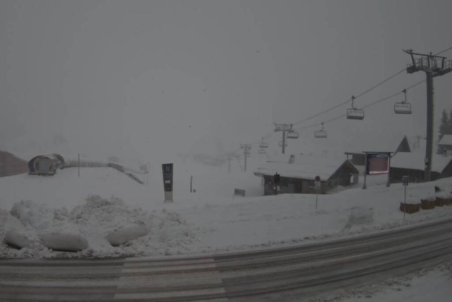 Snowy scenes even at village level in Les Saisies this morning – Photo: lesaisies.com, 20 November 2026
Italy
The rest of will be rather cloudy in the far west of Italy, with a few flurries, especially in the upper Aosta (e.g. Courmayeur), with snow above 1500m. Most other areas will be dry with sunny spells.
will be mostly dry with sunny spells for most areas before rain and snow return to the western Italian Alps on (snow 1000m-1200m).
will see the precipitation spread east to affect all areas but will be heaviest in the west where another 20-40cm is possible (e.g. La Thuile). The rain/snow limit will be very variable but generally between 1000m and 1600m.
Except for some residual clouds and flurries near the border areas in the north-west in the morning, will be a drier and brighter day, with plenty of sunshine. It will feel chilly though, with freezing levels typically around 1500m and a brisk wind in exposed areas.
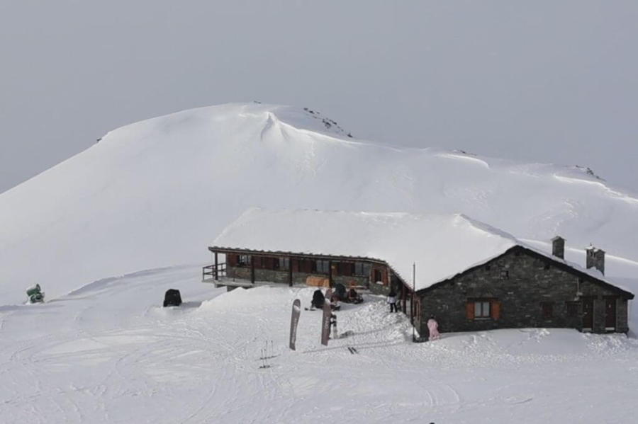 Cloudy with light flurries in Cervinia this afternoon – Photo: cervinia.it, 20 November 2026
Switzerland
The rest of will be mostly cloudy in the Swiss Alps with occasional showers or flurries in the north and west (e.g. Villars, Engelberg), lasting into and with a rain/snow limit around 1300-1400m. Between and we can expect another 10-30cm above 1800m in these northern and western areas, and more in places in the far west. The far south (e.g. Ticino) will be drier and brighter.
will see the last of any flurries (1200m) die away from the northern foothills of the Swiss Alps. It will then be mostly dry with sunny spells before the next storm approaches from the south-west on , bringing some renewed snowfall (1300m) to the south-western Swiss Alps (e.g. Verbier) later.
will see rain and snow spread across the Swiss Alps, heaviest in the west (e.g. Portes du Soleil, Villars) with a rain/snow limit typically around 1200-1500m. However, snow will probably fall lower for a time further east (800m), and briefly higher in some exposed western areas early in the day. Snowfall totals could be very significant in the far western Swiss Alps, with 30-50cm possible above 1800m, but snowfalls will be somewhat lighter further east.
will see flurries (700-1000m) affecting the northern half of the Swiss Alps in the morning, which will tend to die away later. The far south will be mostly sunny.
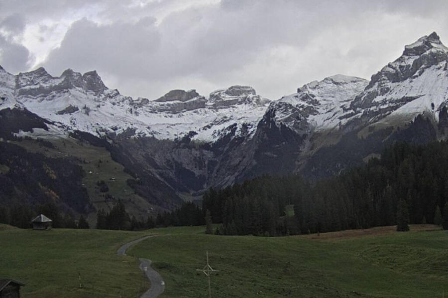 Changeable with snow showers today in Engelberg – Photo: engelberg.ch, 20 November 2026
Outlook:
After a mostly dry day on , new weather fronts will approach the Alps from the west on with some snow (1000m) in places later in the day, this time likely to be heaviest in the southern French and western Italian Alps. However, there is still quite a lot of uncertainty over exactly how this next storm will pan out.



Our next detailed weather & snow forecast will be
on
If you enjoy reading our updates - please feel free to support us:
Follow us on:


 Print