



Who got the most snow in North America in 2025-26?
Guest feature by Tony Crocker, 2 October 2026
The 2025-26 North American winter season tied with the winters of 2014-15 and 1980-81 as the seasons with the second lowest snowfall on record in North America's ski areas, with 70% of their long-term average snowfall – just behind the worst ever season for snowfall, 1976-77, which saw 68%.
Western areas saw 66% of their average snowfall in 2025-26, vs. 59% in 1976-77. However, qualitatively (due to high temperatures), 2025-26 was the more clear-cut second-worst season behind the much drier 1976-77.
The second half of March saw numerous rain events to higher than usual elevations and a record-breaking heatwave over the entire western US. There were also widespread dry spells in November, and from mid-January to early February.
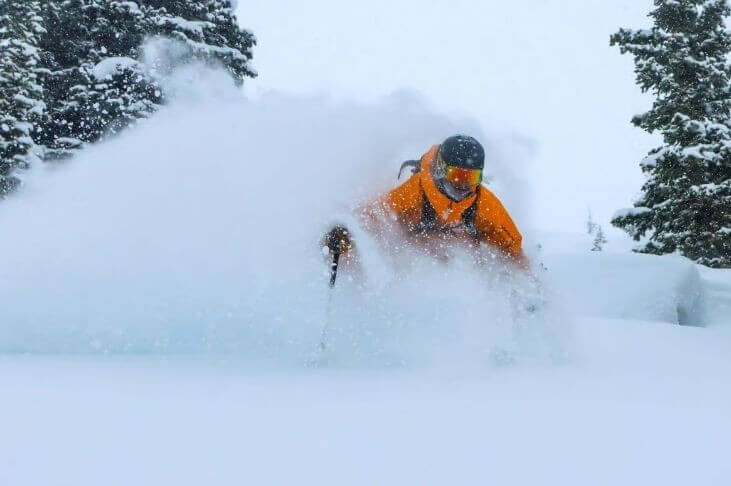 While Lake Louise (pictured) had its snowiest ever winter in 2025-26, North America saw its second lowest snowfall on record overall – Photo: bowvalleyinsider.com, 31 December 2025
California
California's rollercoaster ski season started with a mid-November storm that opened 30% of Mammoth, but which fell almost entirely as rain at Tahoe, followed by five dry weeks.
The 2–3m of snow that fell between Christmas Eve and 7 January opened all terrain, but the next five weeks were dry. During the third week of February, a further 1.5–2.5m fell, but the next week it rained to 3000m, leaving ski areas with spring conditions, and also closing some runs at Tahoe.
March was bone-dry, and the record heat reduced the open terrain in Mammoth to 75%, Mt. Rose and Kirkwood to 50%, and other Tahoe areas to no more than 30%. It then snowed 1.5–2m in April, allowing Palisades Tahoe to close on 24 May and Mammoth on 7 June.
Overall, California’s 2025–26 ski season saw 71% of its normal snowfall, with 7.2m (79%) at Mammoth, 8.1m (71%) at Kirkwood and 5.4m (58%) at Heavenly. Palisades Tahoe’s upper site at 2,500m had the most snow in the region with 9.0m (84% of its long-term average) but, due to rain events, the Palisades base had just 3.7m (57%).
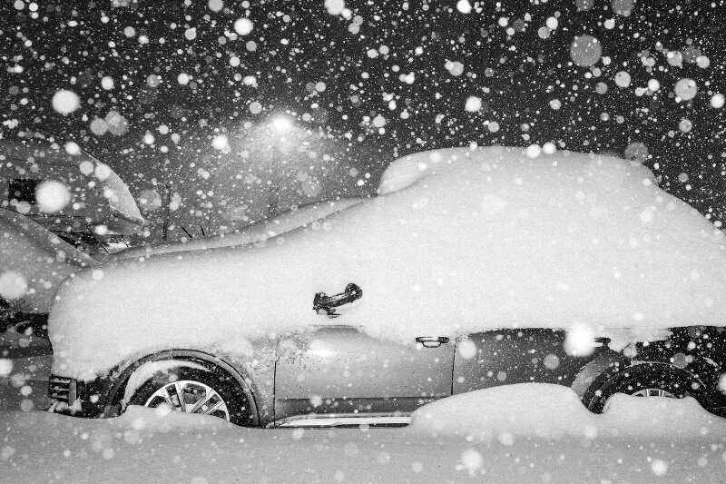 Mammoth saw huge snowfalls over the festive period, and again in February, but only saw 71% of its average snowfall in 2025-26 overall – Photo: facebook.com/MammothMountain, 26 December 2025
Utah
Utah saw record low snowfall in the 2025–26 ski season, at just 52% of its long-term average. However, the Cottonwood Canyons were able to operate 80% or more of their terrain after 2m of snow fell between late December and early January. Other Wasatch areas did not reach 50+% until the next major storm in mid-February and never got past two-thirds open, partly due to rain falling at the lowest elevations.
The late March heatwave reduced the Cottonwood areas to about 60% open and closed the lower-altitude areas. However, the Cottonwood areas held on decently through April after more than 1m of new snow, with Snowbird the last to close on 10 May.
Alta led Utah in the 2025–26 ski season, albeit with record low snowfall of 7.8m, just 59% of its long-term average. Other record lows were seen in Snowbird (6.8m, 56%), Brighton (6.7m, 54%), Snowbasin (3.3m, 41%) and Brian Head (3.5m, 47%).
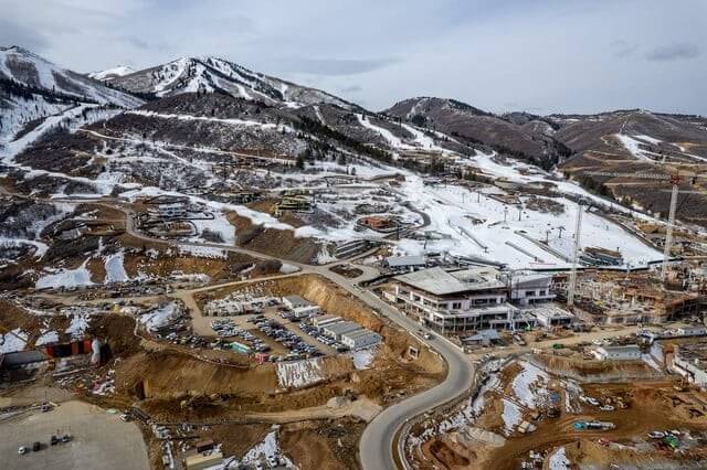 Utah saw record low snowfall during the 2025-26 ski season. This was Deer Valley, Utah on 23 January 2026 - Photo: Salt Lake Tribune
Colorado
Colorado’s Front Range and I-70 areas had their worst season on record, with only 54% of their long-term average snowfall. The region’s ski areas averaged only 20% of open terrain at New Year’s, didn’t get past 50% open until February, and were reduced to an unprecedented 15% open by the heatwave at the end of March.
The southern and western areas saw 55% of their normal snowfall – similar to their snowfall in the winters of 1976-77 and 1980-81. Only Wolf Creek was more than half open at New Year’s, with most areas reaching that benchmark in late January. At the end of March, Wolf Creek was half open while other areas were only about a quarter open.
The 2025–26 ski season saw record low snowfall in Vail (4.2m, 47%), Breckenridge (4.1m, 48%), Loveland (4.1m, 48%) and Telluride (3.3m, 47%).
Wolf Creek led Colorado in the 2025–26 ski season with 5.8m, just 58% of its long-term average. Arapahoe Basin closed on 17 May, although less than 10% of its terrain had been open since the end of March.
The Northeast
The Northeast saw 97% of its long-term average snowfall in 2025–26, but conditions were generally good, with snowfall 25% above normal through January, several areas over half open in early December, and February also remaining cold.
March was warm with mostly spring conditions, and in April the amount of open terrain was limited.
Jay Peak led the Northeast in the 2025–26 ski season with 8.5m mid-mountain (105% of its long-term average), with other favoured areas including Stowe (7.9m, 104%) and Whiteface (5.7m, 129%).
Many other areas had the same favourable cold temperatures through February, but below average snowfall. These included Killington (5.0m, 82%) – which closed on 25 May, Sugarloaf (3.7m, 84%) and Le Massif (4.8m, 81%).
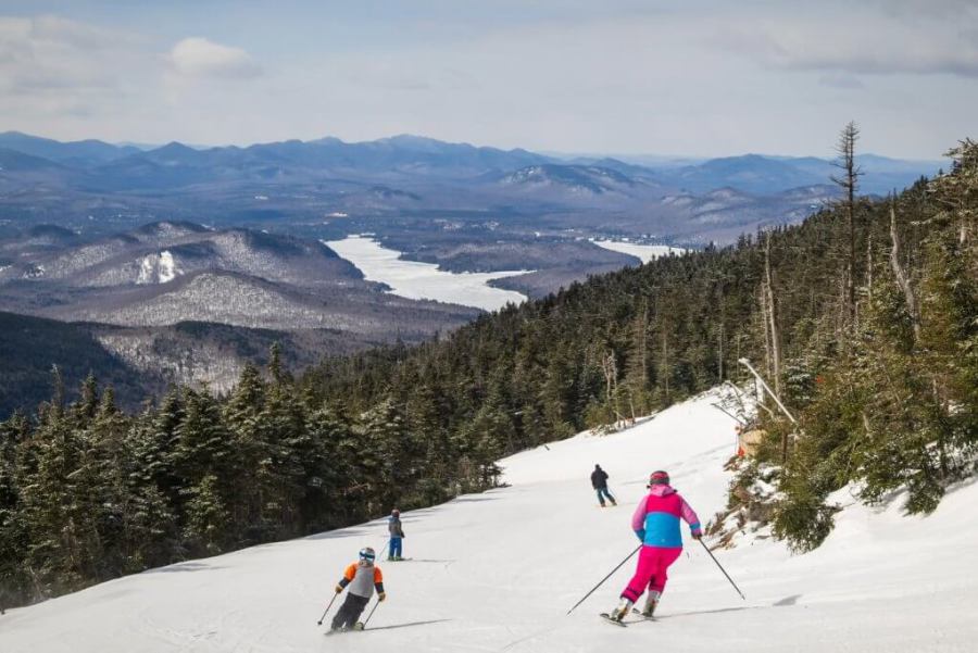 The eastern US had a much better 2025-26 season than the west overall. This is Whiteface, which saw 29% above its long-term average snowfall – Photo: facebook.com/WhitefaceLakePlacid, 28 March 2026
US Northern Rockies
The US Northern Rockies saw 67% of their average snowfall in 2025–26, tying with 1976-77 and 2014-15 as their lowest on record. While Whitefish and Grand Targhee were 90% open at Christmas, no other areas reached half open. Most areas opened more terrain in January, but excessive rain in both December and January kept most interior Northwest areas at less than half open until mid-February.
The late March heatwave closed a few ski areas, but most remained about half open. It then snowed 1m or more in April, but only Targhee and less than a quarter of Big Sky were open for more than a week or two.
Grand Targhee led the US Northern Rockies in the 2025–26 ski season with 8.1m (69% of its long-term average), while Jackson Hole had 6.4m (69%), Big Sky 5.7m (78%), Sun Valley 3.1m (64%) and Schweitzer 4.7m (69%).
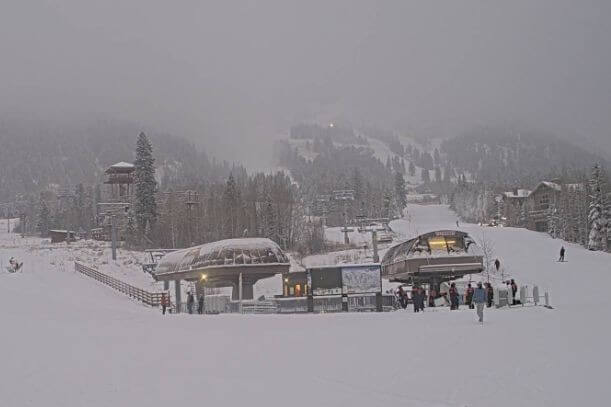 Early December snowfalls looked promising in Jackson Hole, Wyoming, but the 2025-26 season's snowfall was one of the lowest on record in the US Northern Rockies – Photo: jacksonhole.com, 5 December 2025
Interior Western Canada
In Interior Western Canada, the 2025–26 ski season got off to a record snowy start in Revelstoke, Kicking Horse, Lake Louise and Sunshine, with more than 1m of snow falling in November and more than 2.5m in December. The Okanagan areas, however, saw less than half as much early snow.
January was the most challenging month for this region, with one storm raining down to 1800m, followed by a dry second half to the month.
The second half of the season was close to average, aside from the Okanagan, where Big White finished with a subpar 4.6m (64% of its long-term average). Overall, Interior Western Canada saw 101% of its long-term average snowfall in the 2025–26 ski season, with Fernie getting 7.3m (83%) and Lake Louise a record high 7.5m (166%).
Revelstoke led Interior Western Canada in the 2025–26 ski season with 11.0m (116%), while Sunshine saw 8.7m (132%), reopening 2 chairs and 7 runs from 20 June to 5 July.
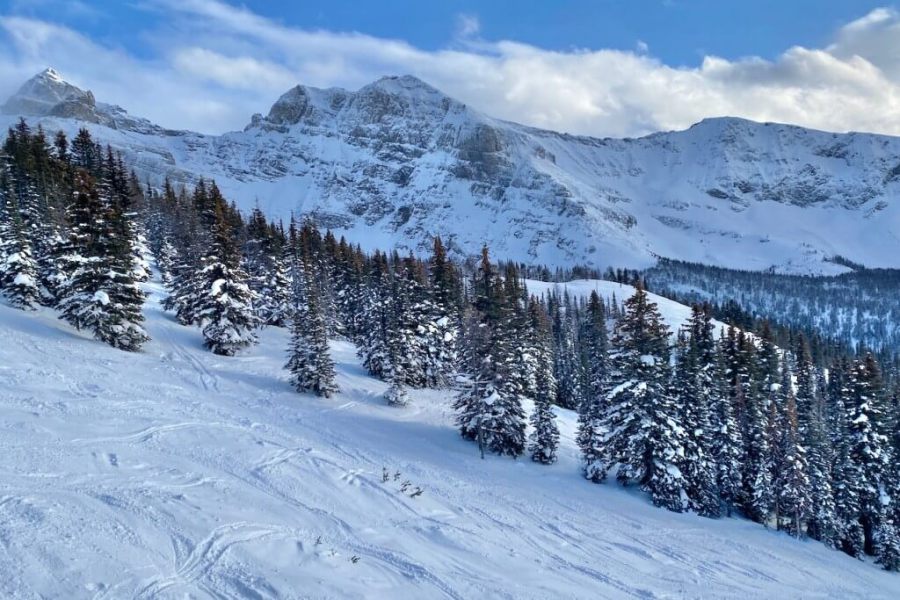 Early season snow conditions were excellent in Banff. Indeed, the Lake Louise ski area ended up with a record-high 7.5m of snowfall in 2025-26 – Photo: planetski.eu, 9 January 2026
Pacific Northwest
Overall, the Pacific Northwest saw 61% of its normal snowfall in the 2025–26 ski season. However, Oregon suffered drought comparable to that seen in Utah and Colorado. Mt. Bachelor saw just 4.7m (47% of its long-term average), with its Summit lift open only 9 days all season. Meanwhile, Hood Meadows had 4.9m (45%) and Timberline’s summer skiing closed on a record early 19 July.
In the early season, snow accumulated at high altitude in British Columbia's Whistler, while Washington State saw mostly rain. Whistler (7.6m, 72%) maintained 90% of its operation from the holidays into April despite several rain and mixed snow events.
Washington State’s biggest storm, delivering 1.5–2m of snow in the first week of March, was followed by top-to-bottom rain. Snowfall in Washington State decreased from north to south, meaning Crystal Mountain (7.2m, 74%) was only intermittently more than half open.
Mt. Baker had the highest snowfall in North America in the 2025–26 ski season, with 11.1m (69% of its long-term average), and was therefore fully open more often, even though it also received a lot of rain.
 Whistler was in great shape in late February but, overall, it only saw 72% of its average snowfall in 2025-26 – Photo: Elena Gerenelova, 26 February 2026
Tony Crocker is an award-winning snow-sports journalist
and founder of BestSnow.net – the definitive guide to weather
and snowfall patterns at North American ski resorts.
If you enjoy reading our updates - please feel free to support us:
 Print