



A very stormy week of weather for the Alps, especially in the west…
Today in the Alps...
Updated: – Obergurgl opens today, but most of the snow action is still further west...
Obergurgl in the Austrian Tirol opens today, the first major entirely non-glacial to do so in the Alps. Although there isn’t a huge amount of natural snow right now, there are already over 70km of pistes available thanks to its altitude and world-class snowmaking. Elsewhere in Austria, Schladming in the Ski Amadé region, is another relatively big name to start ski operations for the season today, albeit on a much more limited basis for now.
 Heavy snow at resort -level this morning in Val d’Isère – Photo: valdisere.com, 19 November 2026
The big weather and snow story in the Alps, however, remains further west where the precipitation intensified bringing the snowline down to around 1400m in the northern French Alps and even to 1200m across the border in the Upper Aosta Valley.
At higher altitudes, there is serious snow accumulating above 2000m in the likes of Tignes-Val d’Isère, the 3 Valleys, the Paradiski, Chamonix Valley, Courmayeur, La Thuile, and Verbier, to name just a few.
Further east, snow is getting through to many other parts of the Swiss Alps, and to Austria (away from the south), but generally in more modest quantities. The two main areas missing most, if not all, of the action are the far south-western Alps (e.g. Isola 2000, Prato Nevoso) and the south-eastern Alps (e.g Dolomites).
Lots more snow is expected in the north-western Alps, in particular, over , easing for a time on before yet further snow arrives from the west on .
forecast lull is set to coincide with the big openings of Val Thorens and Tignes where there will be very impressive quantities of snow at altitude. However, the risk of avalanche off-piste will be sky-high, so it is highly recommended that you remain on the marked runs if skiing here.
Check out our latest detailed snow report for the Alps and beyond …
In the meantime, please read our blog to find out more about where to ski in the Alps this .
If you enjoy reading our updates - please feel free to support us:

Latest Snow Forecast

Latest Snow Report
Our first snow report for the 2026-27 winter ski season is out, with snow starting to pile up at altitude in the Alps…
Top 10 early season ski resorts in Europe


Our latest blog
Where to ski in the Alps in November
November is when skiing options in the Alps begin to expand beyond the established glacier areas, with the first major non-glacial resort openings.
Here we take a look at the best places to ski in the Alps in November 2026...
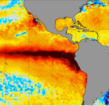
Could the 2026 El Niño mean more snow for the Alps this winter?
The 2026 El Niño is the strongest since records began, but what impact will it have on weather and snow in the Alps this winter?
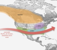
Could the 2026 El Niño mean more snow for North America this winter?
The 2026 super El Niño could have very different implications for North America's ski resorts this winter. Who might benefit, and who could miss out?

Was Summer 2026 the hottest ever in the Alps?
Record-breaking heat swept western Europe in Summer 2026, with dramatic consequences for glaciers, summer skiing and the stability of the mountains themselves. But was it the hottest summer EVER in the Alps?
Who got the most snow in the Alps in 2025-26?
The 2025-26 Alpine ski season was defined by very mild temperatures and generally limited snowfall across the Alps, with some exceptions.
Read our full review of the 2025-26 ski season in the Alps and find out which ski resorts got the most snow...
Who got the most snow in North America in 2025-26?
The 2025-26 North American ski season saw way below average snowfall overall, although the east fared better than the west.
Read our full review of the 2025-26 ski season in North America and find out which ski resorts got the most snow...
Follow us on:


Our complete guide to:
Weather and snow conditions in Scotland
Our complete guide to...
Snowfall patterns in the French Alps
16 September 2020
Ever wondered why some areas of the French Alps get more snow than others?
This month so far in the Alps...
Updated: – Snow continues to build at altitude in the western Alps...
The Alps remain under the influence of a strong westerly flow, with a succession of weather fronts continuing to move in off the Atlantic until the weekend at the very least.
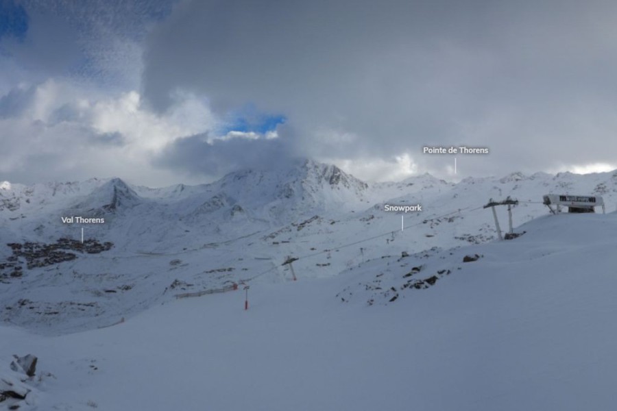 A little break in the weather this morning in Val Thorens, but further snow is forecast today and especially overnight – Photo: valthorens.com, 18 November 2026
warm front brought rain to as high as 2700m in some western parts of the Alps but with further significant, if very windblown, snow at high altitude. Overnight we saw temperatures drop, with the rain/snow limit descending back to 1600-1800m, which is roughly the level at which we will see any snow fall .
will see further rain or snow showers in the western and northern Alps, heaviest in the high internal mountains of the Tarentaise (e.g. Tignes, Val d’Isère, Les Arcs, La Plagne, Val Thorens). There may be a drier interlude but more persistent precipitation will return .
Between now and we could see another 25-40cm of fresh snow above 2000m in the northern French Alps, but more generally 10-30cm across the western and northern Alps, much of which will fall . Once again, the further south-east you are, the lighter and patchier any precipitation is likely to be, with parts of southern Austria and the eastern Italian Alps (e.g. Dolomites) staying mostly dry.
The weather in the Alps will remain very unsettled for the rest of the week and into the weekend with further waves of precipitation moving in from the west. The rain/snow limit will generally be between 1200m and 1800m with further significant accumulations of snow in the northern and western Alps, and very significant accumulations in the northern French, far western Swiss and far north-western Italian Alps.
So, what does this all mean for the season ahead?
This week’s snowfalls are very good news for the high resorts of the western Alps where lasting bases will be established above about 2000m in the likes of Val d’Isère, Tignes, Val Thorens, La Plagne, Les Arcs, La Rosière, La Thuile, Cervinia, Verbier and Zermatt, to name just a few.
There is still lots to play for lower down and further east/south-east, though, with very little sign of any significant snow at lower altitudes in Austria (e.g. SkiWelt, Kitzbühel) or indeed the Dolomites – although they still have plenty of time to get their world-famous snowmaking fully operational, especially with the cooler temperatures on offer early next week.
We will cover this in further detail in our next snow report ...
In the meantime, please check out our latest country-by-country weather & snow forecast for the Alps, our first detailed snow report of the season and read our blog to find out more about where to ski in the Alps this November.
Updated: – Big weather day for the Alps!
A very active warm front will cross the Alps today bringing big snowfalls at altitude, especially across the north-western Alps, but also copious amounts of rain lower down. High winds will add to an already complicated weather situation with an increasing risk of avalanches in the high mountains and localised flooding in the valleys.
 Blizzards at altitude today in Val d’Isère, but it’s falling as rain lower down – Photo: valdisere.com, 17 November 2026
The rain/snow limit in the north-western Alps will be between 2500m and 2800m for much of the day before lowering to around 2000m this evening or overnight.
Areas that will be most impacted by today’s storm include the French Alps, especially the higher parts of the north, including the Tarentaise (e.g. Val Thorens, Tignes-Val d’Isère, La Rosière, Chamonix valley, Grand Massif), the far north-western Italian Alps (e.g. La Thuile, Courmayeur) and some parts of the south-western Swiss Alps (e.g. around the Dents du Midi).
These areas are likely to see up to 40-50cm of very windblown snow above 2800m by tomorrow morning and, eventually a few centimetres of snow down to 2000m. However, for today at least, rain will be the dominant weather feature lower down.
As today progresses, rain and high-altitude snow will move further eastwards across the northern Alps into much of Austria, with a slightly lower rain/snow limit of between 2000m and 2500m.
However, the southern Austrian Alps (e.g. Carinthia) and many central and eastern parts of the Italian Alps (e.g. Dolomites) will escape the worst, with only patchy precipitation later in the day.
The far south-western Alps close to the Mediterranean (e.g. Prato Nevoso) will also see much lighter and patchier rain or high-level snow.
The weather will then remain very unsettled for the rest of the week with further storms piling in off the Atlantic. Once again, it will be the north-western Alps that will catch the brunt of these storms and, with cooler air in the mix, the rain/snow limit will be lower – typically 1400m to 2000m on Wednesday and Thursday, then 1000m to 1400m to end the week.
Storm totals for the week have been revised upwards and could exceed 150cm in some higher parts of the north-western Alps.
Updated: – The start of a very snowy week for some parts of the Alps!
The much-hyped big storm cycle is well underway with another weather front crossing the Alps from west to east this morning. This follows the first front (of this current cycle) that delivered up to 20cm of snow to the western Alps on Saturday night.
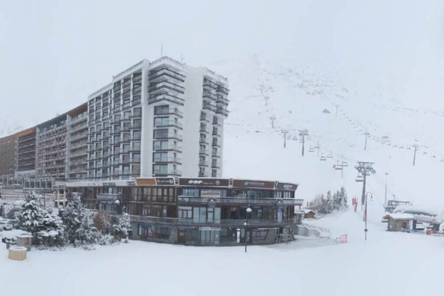 Tignes has seen another top-up of snow this morning with much more on the way this week – Photo: tignes.net, 16 November 2026
This latest weather front has already dropped another 5-20cm of snow across higher parts of the western Alps this morning (e.g. Tignes) with a rain/snow limit somewhere close to 1700m. It will weaken as it heads eastwards, bringing just a dusting at best across the eastern Alps today.
All eyes are then on what happens on Tuesday as a very active warm front crosses the Alps bringing some potentially disruptive weather to some north-western regions in particular.
The heaviest precipitation will be in the northern French Alps (e.g. Tignes-Val d’Isère, Chamonix), the far north-western Italian Alps (e.g. La Thuile) and the western Swiss Alps (e.g. Verbier), but with rain falling to as high as 2400-2700m for a time, but lowering slightly late in the day.
On the whole, any precipitation will be a bit lighter the further south-east you are in the Alps, with areas such as the Dolomites staying mostly dry.
On Tuesday alone we could see 40cm of fresh snow above 2700m in the northern French Alps (e.g Tignes, Chamonix valley), but it will be very windblown and there could be some localised flooding lower down.
The weather in the Alps will remain very unsettled for the rest of the week with further storms piling in from the west. The rain/snow limit will oscillate between about 1200m and 2000m, more likely at the lower end of this range to end the week. This is good news for the openings of Tignes and Val Thorens on Saturday, both of which will have very significant quantities of fresh snow by the weekend, above 2000m at least.
Check out our full detailed weather and snow forecast for the Alps tomorrow...
Updated: – The big storm cycle has begun, with fresh snow for the Alps overnight!
The latest storm cycle is already underway with a first wave of snow having hit the western Alps last night.
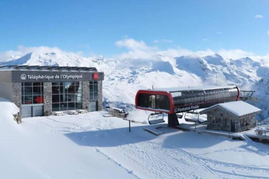 Val d’Isère (opening on 28 November) has seen a further top-up of snow overnight – Photo: valdisere.com, 15 November 2026
This morning on the webcams we can see that a bit of snow has fallen to around 1800m in the French Alps, and a bit lower in the western Italian Alps, with around 5cm at 1250m and 20cm up top in Courmayeur, for example.
The forecast for the Alps for next week is an extremely unsettled one with a lot of snow at altitude in the western Alps. However, with wildly fluctuating temperatures there will also be rain at times lower down, especially on Tuesday when the rain/snow limit may reach 2500m for a time.
By the end of the week though we should see somewhere around 1 metre of fresh snow above 2500m in resorts such as Val Thorens and Tignes, both of which are scheduled to open on 21 November.
The further east and especially south-east you are in the Alps this week the less precipitation there will be.
Updated: – The calm before the gathering storms!
High pressure is back in charge of the weather in the Alps, which means a beautiful day today for most regions. However, with the wind coming in from the east there is more in the way of cloud across some south-western areas, especially in the Piedmont.
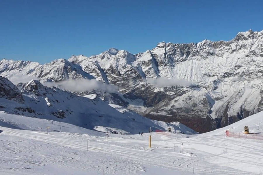 Cervinia continues to offer the best snow conditions in the Alps right now – Photo: cervinia.it, 14 November 2026
For the currently open ski areas in the Alps, though, it’s just about wall-to-wall sunshine and, with the recent snow and relatively cool temperatures today, snow conditions are generally very good, all things considered.
Around 20 ski areas in Alps are open this weekend, mostly still on a very limited basis but with a few more interesting options. Chief among these is the Cervinia-Zermatt area where nearly 40km of pistes are now open including some considerable non-glacial terrain, especially on the Cervinia side. This area also received the lion’s share of the recent snowfalls (at least in terms of the currently operational ski areas).
However, the greatest extent of skiing is still in Austria, where Sölden is offering nearly 80km of pistes today, albeit with considerably more artificial help than in Cervinia.
The weather forecast for the Alps over the next week or so is very interesting with a succession of storms set to come in off the Atlantic, starting later this weekend.
Temperatures will be all over the places with a lot of rain in the mix, sometimes quite high up. At altitude and in the western Alps, however, there will be further significant snow – possibly 1m or more above 2500m by the end of the week in the French Alps, the western Aosta (e.g La Thuile) and the far west of Switzerland.
How much snow will get through to the southern and eastern Alps, and how much snow will fall to lower altitudes generally is still uncertain but, for the big French openings of Tignes and Val Thorens next weekend, things are looking good.
Updated: – Significant fresh snow has fallen across many higher parts of the Alps...
The (relatively) big storm is over, leaving behind significant quantities of fresh snow at altitude across much of the Alps. As forecast, though, the cold air arrived too late for any meaningful accumulations at lower altitudes.
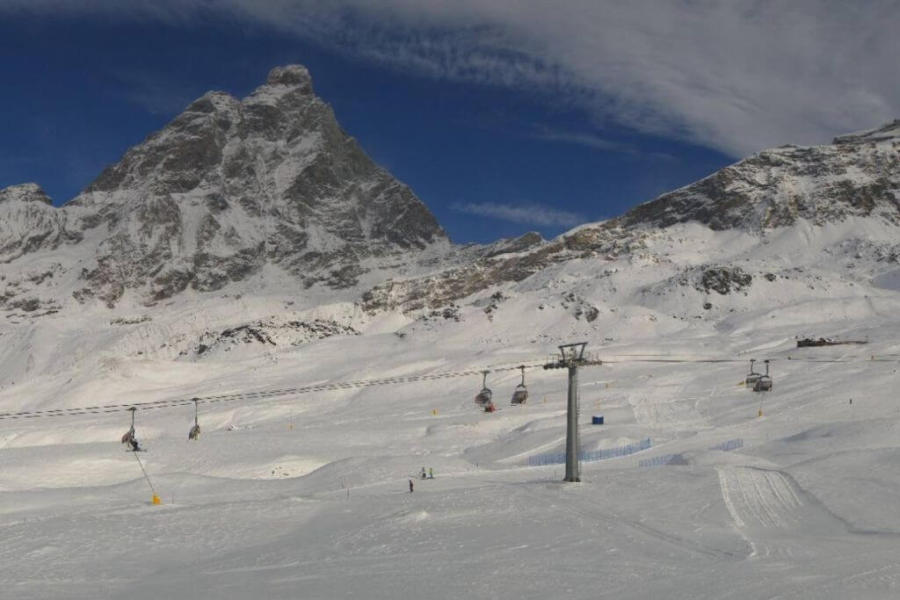 Cervinia currently offers the best snow conditions in the Alps – Photo: cervinia.it, 13 November 2026
The (relatively) big storm is over, leaving behind significant quantities of fresh snow at altitude across much of the Alps. As forecast, though, the cold air arrived too late for any meaningful accumulations at lower altitudes.
The heaviest snow from this last storm fell across higher parts of the south-western Alps, with accumulations of around 30-50cm above 2800m in the southern French Alps and many western Italian regions. This includes Cervinia which currently offers the best snow conditions in the Alps. More generally, between 10-30cm fell across the Alps at high altitude, which will still have significantly improved snow conditions in ski areas already open, most of which still revolve around glaciers.
The rain/snow during this storm remained mostly well above 2000m yesterday but did dip to 1600-1800m for a time in the western Italian Alps (e.g. Courmayeur, Sestriere) before lowering more generally from the north overnight – briefly as low as 1000m in the northern Austrian foothills – but only after the bulk of the precipitation was over.
We will now see a relatively quiet period of weather in the Alps before it turns unsettled again later in the weekend. This heralds a very stormy week ahead for the Alps with a succession of Atlantic storms piling in off the Atlantic.
Freezing levels will be all over the place next week, but further very significant snowfalls are likely, at altitude at least, especially in the western Alps. Lower down there may also be some snow at times, although it is much less likely to stick here due to the highly variable temperatures.
Anyone lucky enough to be in the Alps right now should see some excellent snow conditions for the time of year, especially in the Zermatt-Cervinia, and Saas-Fee areas, where (in terms of open ski areas at least) they have the lions’ share of the recent snowfall.
Updated: – Lots of rain and high-altitude snow in the Alps...
As expected, a new and more powerful storm has hit the Alps from the south-west. However, with the air set to remain very mild during most of this storm, only high-altitude areas of the Alps will see any truly significant snowfall accumulations.
 This morning’s precipitation radar shows the heaviest rain (and high-altitude snow) across the southern French Alps – Image: meteoradar.co.uk, 12 November 2026
As shown in the radar image this morning, the heaviest precipitation is currently falling across the southern-western Alps, especially the southern French Alps. As the day progresses, precipitation will move north-east to reach all parts of the Alps but will tend to remain heaviest in the south-west.
The rain/snow limit will be high to begin with, especially this morning in the French Alps where it is between 2600m and 2900m. Elsewhere in the Alps, it will more generally be between 2300-2600m, but a bit lower in some western Italian resorts.
Later this evening and overnight, colder air from the north will push the snow limit lower, first in the northern Alps then across many other regions tomorrow morning, but only after the heaviest precipitation has moved away.
By Friday morning we are expecting 15-30cm of fresh snow above 2700m across most parts of the Alps, with 30-40cm in some favoured south-western parts, especially around the high southern French Italian border regions. Snow will also settle at lower altitudes, with at least a few centimetres above 1800m (generally) and a dusting as low as 1000m for a time across some parts of the northern Alps tomorrow morning.
After something of a reprieve late on Friday, and on Saturday, new weather fronts will approach the Alps later in the weekend heralding the start of a very unsettled week in the Alps, with a succession of storms moving in from the Atlantic. For the most part it will remain very mild but there is the possibility of some colder air in the mix later in the week. Watch this space!
Updated: – More snow forecast for many higher parts of the Alps...
The weather in the Alps remains unsettled with an active storm set to move in from the south-west tomorrow.
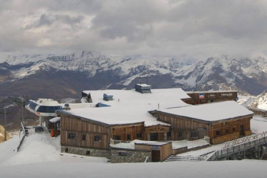 View from the Grande Motte glacier above Tignes where further snow is expected tomorrow – Photo: tignes.net, 11 November 2026
Before tomorrow’s storm arrives, there are still bits and pieces of rain and high-altitude snow falling across the Alps today, mostly in France and Switzerland with a rain/snow limit of around 2600-2900m.
More organised and active weather fronts will sweep in from the south-west tomorrow delivering rain or further high-altitude snow across much of the Alps, heaviest in the southern French Alps.
The rain/snow limit tomorrow will again be quite high, typically between 2500m and 2900m, but will fall on Thursday night to reach as low as 1000-1400m across some northern parts of the Alps.
By this time, however, the bulk of the precipitation will be over, so only higher-altitude parts of the Alps will see any significant accumulations of snow. More details tomorrow…
Updated: – Unsettled but still very mild in the Alps...
The weather in the Alps remains changeable but mild, with further showers or high-altitude snow – heaviest in the west early this morning (i.e. in the French Alps) then increasingly confined to the northern and north-eastern Alps (e.g. Arlberg, Kaprun, Dachstein).
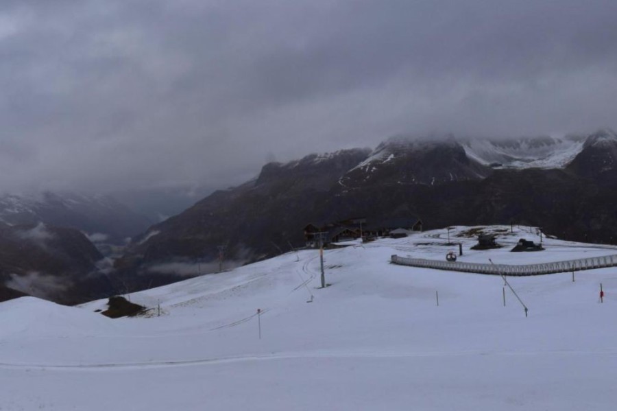 A scene typical of the weather in the Alps this week, with rain lower down and snow only falling at high altitudes – Photo: valdisere.com, 10 November 2026
The rain/snow limit today will range from about 2800m in the French Alps to between 2200m and 2500m in the Austrian Alps.
The weather in the Alps will remain unsettled for the rest of the week with very mild temperatures until Thursday, meaning that any snowfall will be mostly confined to above 2500m. Later on Thursday colder air will start to arrive in the northern Alps, with some snow falling to lower altitudes across many parts by the end of the week.
You can now ski in at least 14 areas in the Alps, weather permitting. Skiing options in the Alps still mostly revolve around the glaciers but with a few notable exceptions, including Cervinia where last week’s snow means that it is now possible to ski on non-glacial terrain all the way down to Plan Maison at around 2500m. Sölden has also opened more non-glacial pistes.
In terms of the extent of open terrain, Sölden (with 52km of pistes) and Hintertux (with 39km) still lead the way, however, the best snow conditions right now are further west in Zermatt-Cervinia (32km) and Saas-Fee (27km).
Updated: – An unsettled week of weather ahead for the Alps...
The weather in the Alps will be unsettled this week, although lots of mild air means the rain/snow level will be quite high, at least to start with.
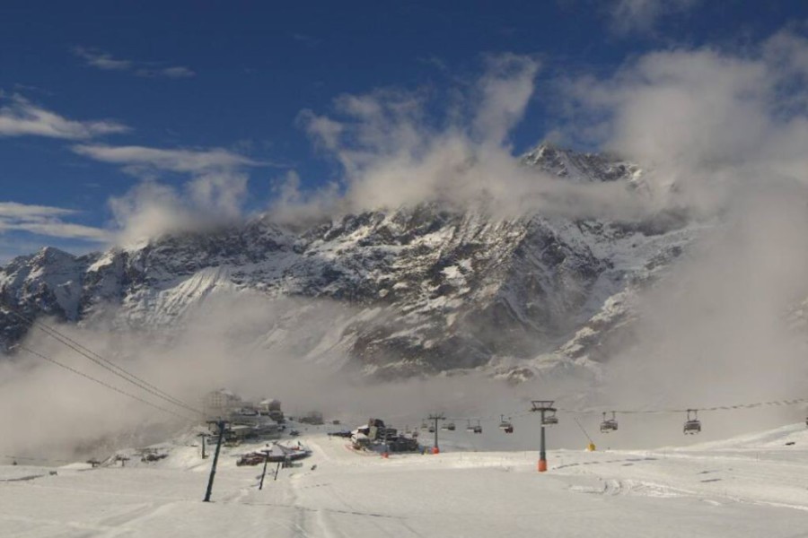 You can now ski down to Plan Maison at 2500m in Cervinia – Photo: cervinia.it, 9 November 2026
Today a warm front has brought rain to much of the northern Alps with the rain/snow level rising to between 2000m and 2800m from east to west.
Temperatures will remain very mild over the next couple of days with further bits and pieces of rain or high-altitude snow, mostly in the west but probably still quite light. The weather in the Alps will then become a bit more interesting in the second half of the week with the arrival of more active fronts and some slightly cooler air.
This is a very complicated situation, with lots of uncertainty, however, there is the potential for some more significant snowfall in places, most likely at this stage in the southern Alps.
Skiing options in the Alps still mostly revolve around the glaciers but with a few notable exceptions. These include Cervinia, where last week’s snow means that it is now possible to ski on non-glacial terrain all the way down to Plan Maison at around 2500m.
Over in Austria, Sölden has also opened more non-glacial pistes and now boasts over 50km of skiing, by far the most on offer in the Alps. The best snow conditions though are further west in Zermatt, Cervinia and Saas-Fee.
Updated: – 50cm of fresh snow in parts of the southern Piedmont in Italy!
The south-western storm is on its last legs today, having dumped around 25-40cm of snow at altitude in the last 48 hours in the southern Piedmont, with 50cm+ in places above 2000m in the Cuneo province near Prato Nevoso.
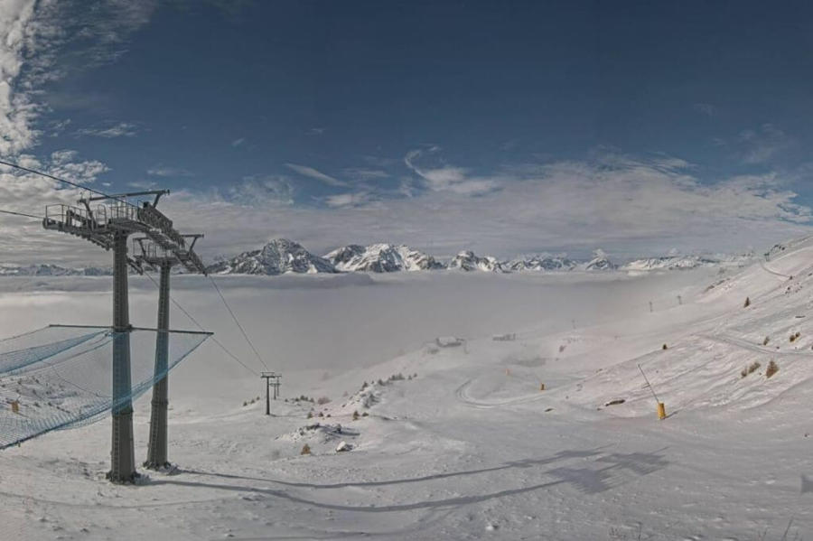 Significant fresh snow on the (not yet open) slopes of the Milky Way. This is Sestriere – Photo: sestriere-online.com, 6 November 2026
Significant snowfall has also fallen in parts of the southern French Alps (e.g. Isola 2000) and areas close to the Italian and south-western Swiss border, including Cervinia and the upper reaches of Zermatt and Saas-Fee. Most other parts of the Alps have seen very little if any precipitation, however.
Right now, it is Zermatt, Cervinia and Saas-Fee that are offering by far the best snow conditions in the Alps, with up to 30cm of fresh snow on their glaciers. The greatest extent of skiing, however, is still to be found in Austria, where just over 30km of pistes are open in both Sölden and Hintertux, some of which are non-glacial.
Next week, the weather in the Alps will be a bit mixed, with some light rain or high-altitude snow in places early in the week but with temperatures also rising.
Updated: – Further snow for some south-western parts of the Alps!
As expected, there has been some snow for many south-western parts of the Alps over the last 24 hours, with more to come today and tomorrow.
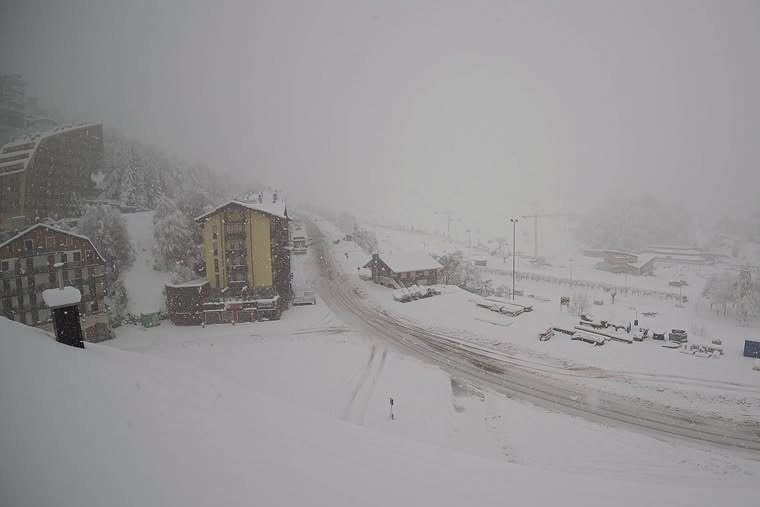 Significant fresh snow in the Prato Nevoso area in Italy – Photo: vigliettisport.com, 5 November 2026
The heaviest of the snow has fallen in the southern Piedmont, including resorts such as Sestriere, Prali, Prato Nevoso and Limone Piemonte in Italy, and just across the French border in Isola 2000. These areas have already seen 10-40cm or so of fresh snow above 1800m. More generally, the southern French Alps (e.g. Montgenèvre, Risoul, Les Orres) have seen a few centimetres of snow but the vast majority of the Alps have missed out.
The rain/snow limit from this storm has generally been around 1400-1800m, and a bit lower in parts of the southern Piedmont.
With the exception of Zermatt and Saas-Fee, whose upper reaches have seen a dusting of new snow, none of the ski areas currently open have benefited from this current storm –which has only really been of any consequence for the far south-western Alps.
Some light snow (1700-2000m) will creep a little bit further north and east later today and tomorrow affecting other parts of the Swiss Alps, some parts of the northern French Alps, and some other western Italian areas (e.g. Monte Rosa), but generally in very modest quantities.
The weather in the Alps will tend to settle down again over the weekend and turn milder for a time early next week.
For now, skiing in the Alps still mostly revolves around the glaciers although some resorts, like Sölden and Hintertux, also have some non-glacial terrain open. These two resorts remain the best options right now, at least in terms of extent, both having 30km of pistes currently in operation.
Updated: – Snow in the far south-western Alps today...
Sandwiched between high pressure to the north and low pressure over the Mediterranean, the Alps remain under a cool north-easterly airflow. For the most part this airflow is dry but a small disturbance close to the south-western Alps is bringing some snow today (to 1300-1800m) to parts of the southern Piemonte and southern French Alps.
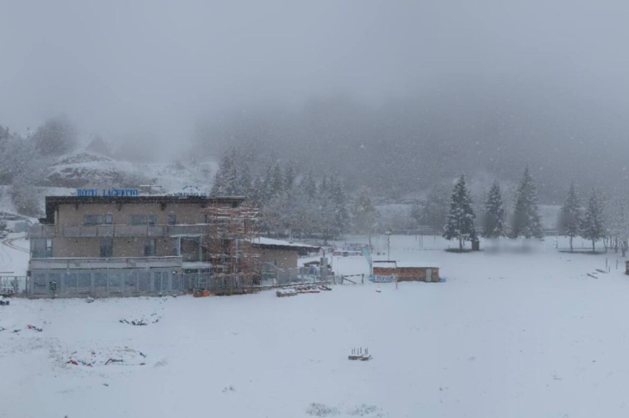 Snow falling today in Prato Nevoso in the southern Piemonte in Italy – Photo: pratonevoso.com, 4 November 2026
While relatively localised, this snow is likely to be a bit more consequential than originally forecast, affecting the south-western parts of the Alps both today, tomorrow and possibly into Friday, by which time some light precipitation may also creep a bit further north into the northern French and western Swiss Alps.
The only areas forecast to see any significant snow this week will, however, be in the far south-west – i.e. the southern Piemonte (e.g. Prato Nevoso, Liomone) and some far southern French resorts close to the Italian border, such as Isola 2000.
These areas could see 20-30cm of fresh snow by Friday morning, with even 40cm+ in places. None of these regions have any open skiing yet or are likely to until the very end of November.
Updated: – Snowmaking is underway in some parts of the Alps!
The recent days’ cooler weather has allowed snowmaking to begin in some parts of the Alps, notably in the Dolomites, where some resorts (e.g Madonna di Campiglio) are scheduled to offer weekend openings as early as 21-22 November.
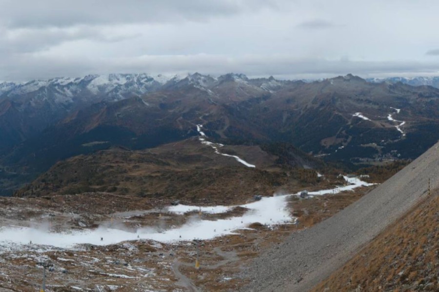 Snowmaking has begun in Madonna di Campiglio, which is expected to open over the weekend of 21 to 22 November 2026 – Photo: funiviecampiglio.it, 3 November 2026
This cooler weather is thanks to a north-easterly airstream that will continue to affect the Alps for several days, albeit turning slightly more easterly/south-easterly later this week. Most places will remain dry all week, but snow flurries will affect the far south-western Alps tonight, tomorrow and lingering into Thursday.
These snow flurries will mostly affect the southern Piedmont (e.g. Prato Nevoso, Limone) and the Alpes Maritimes (e.g. Isola 2000) where 10-15cm is likely above 1700m by Thursday with a rain/snow limit of 1000m to 1500m on the Italian side, and 1300m to 1700m on the French side.
For the vast majority of the Alps, however, over the next few days the weather will be dry, if still rather chilly, with variable cloud cover.
Around a dozen ski areas in the Alps are currently open, most of which still revolve around glaciers. The greatest extent of terrain is still in Sölden (around 35km of pistes) and Hintertux (around 31km), which both have glacial and some non glacial terrain open.
Snow conditions on the glaciers are hard-packed and, in the absence of any significant fresh snow any time soon, will become increasingly “scratchy” over the coming days.
Updated: – Colder weather in the Alps but with no significant fresh snow in the forecast...
The Alps are currently under the influence of a cool easterly airflow. Most regions will be dry today, but some snow flurries (1000-1200m) will affect the extreme south-eastern Alps (eastern Carinthia). Elsewhere there will be variable cloud cover, much of the cloud being lower-level, with plenty of sunshine at altitude, especially in the central and western Alps.
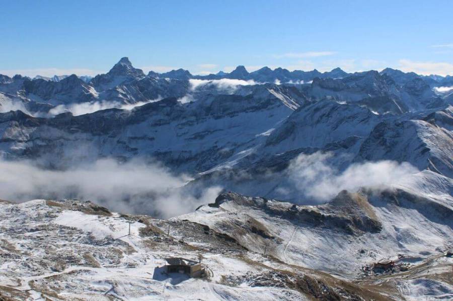 Mostly fine weather but rather chilly across the Alps to start the week. This is Oberstdorf in Germany, near the border with Austria – Photo: foto-webcam.eu, 2 November 2026
Looking a bit further ahead, the weather in the Alps will remain on the cool side over the next few days but without any significant snow in the forecast.
Around a dozen ski areas in the Alps are currently open, most of which still revolve around glaciers. The greatest extent of terrain is still in Sölden (around 35km of pistes) and Hintertux (around 31km), both of which have both glacial and some non-glacial terrain open.
Snow conditions on the glaciers are hard-packed and, in the absence of any significant fresh snow any time soon, will become increasingly “scratchy” over the coming days.
 Print