Latest Snow Report
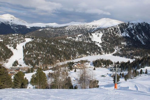
Late season snow conditions have been superb this week in the northern Alps and will continue this way with yet more heavy snow forecast, especially in Switzerland and Austria.
Snow conditions in the southern Alps are generally far more average for the time of year, but here too you can find plenty of good skiing, helped by the below average temperatures that have benefited all parts of the Alps in recent days.
As to why snow conditions in the northern Alps are so good right now, it’s largely down to the big storm that hit in the middle of last week. This dumped significant snow across the entire northern half of the Alps (and a few southern regions), with as much as 70-100cm of snow falling across parts of Switzerland and Austria (e.g. Engelberg, Arlberg).
It’s also due to the unusually cold temperatures for late March, with snow falling to as low as 300-500cm in places this week.
Across the pond, the Banff-Lake Louise area remains in pole position…